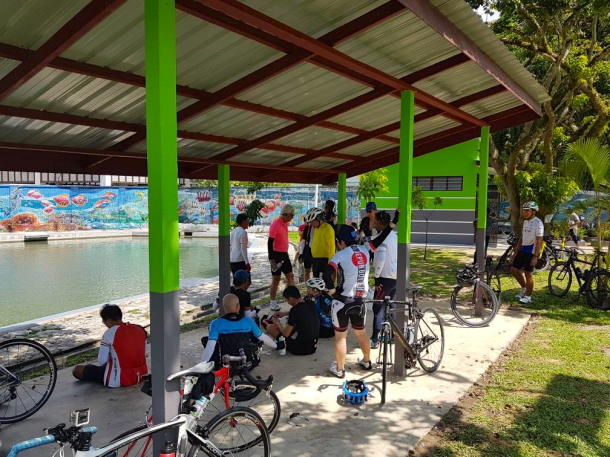
Bicycles run on bearings. Starting from the front of the bicycle, there are bearings in the front wheel hub, which allow the wheel to spin on its axle. There are bearings in the headset, which is the assembly that connects the front fork to the frame, and permits the fork to turn for steering and balancing. There are bearings in the bottom bracket, which allow the crankset spindle to rotate freely. There are bearings in the rear wheel hub and the freewheel attached to it. There are bearings in the two rear derailleur pulleys.

Cyclists pay lots of attention to the bearings in wheels and drivetrains. These are the bearings which help the bicycle’s forward progress. Any reduction in friction (loss of watts, in cyclist’s parlance) is highly sought after. These bearings are regularly serviced. Steel bearings are often replaced with ceramic bearings, which have a lower rolling resistance.
Headset bearings get less love. Bike mechanics should check headset adjustment when servicing bikes. Occasionally a headset needs tightening. It is usually only after the rider feels roughness, notchiness, or uneven drag while steering, that headset bearing get serviced or replaced.
And the bearings we all forget? The ones in our pedals. Cyclists notice when their cleats need replacing. The wear is visible, and that wear is often made tangible by clipping in and out of the pedals requiring either too much or too little force.
Pedals just seem to go on and on doing their job with no fuss or bother. That adage about the squeaky wheel is certainly true where pedals are concerned.
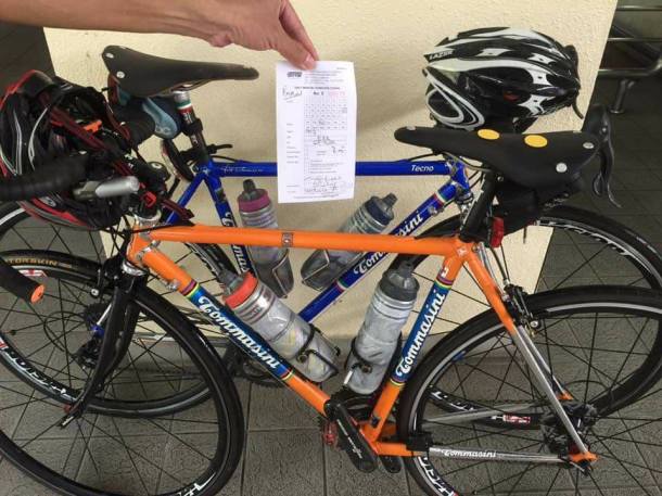
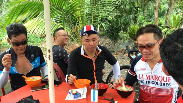
I bought my Alchemy Eros, and the Speedplay pedals that I specified for the bike, in June 2015. I had given my pedals little or no thought since then.
A week ago the bike developed an irritating click. Lim, the mechanic at The Bike Artisans, thought that my pedals could be the source of the noise. The pedals were spinning too freely on their spindles, which is a sign that they needed regreasing. He didn’t have a needle-type grease injector gun, so couldn’t do the quick and easy pedal maintenance via the grease port hole built into the pedal bodies.
When I got home I consulted the Speedplay website. Speedplay recommends that the pedal bearings be regreased at least every 3,200 km / 2000 mi, or every two months.

That means my pedals should have been regreased between five and twelve times by now.
I found online instructions to disassemble my pedals. The Spindle Screw was held in place by some Loctite Threadlocker Blue, but I got the screw to turn without having to heat it, as mentioned in some posts. The fiddliest step was removing the retaining ring.
It is possible to replace the bearings – Speedplay sells a pedal rebuild kit for USD100 which replaces everything but the spindles. I just cleaned all the parts, flushed out what grease was left in the bearings, flooded the pedal body with fresh grease, and reassembled the pedals.
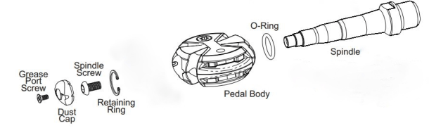
Diagram courtesy of forum.slowtwitch.com
So far so good. The pedals are turning smoothly and quietly.
Unfortunately that irritating click is still there.

Postscript
I have found the source of the click. It was coming from the rear dropouts. A touch of lubrication between the QR faces and the dropouts, and silence was restored.
Thank you Uffe Lindhardt for the link to Keep It Quiet! Jim Langley’s wide-ranging bicycle blog is an excellent resource.


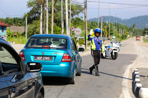
 The contents of the goodie bags were useful too. We all got a bottle of water, a pack of juice, a Snickers bar, a bun, and a t-shirt. And potentially the most useful item of all – a laminated emergency contact card for the police, hospitals, the power plant medical officer, and ride officials. (I have edited out the numbers of the individuals below).