We are in the ninth month of the Islamic calendar. Ramadan. Which for Muslims means fasting during the daylight hours from dawn to dusk.
The Islamic lunar calendar year is eleven or twelve days shorter than the solar calendar year. There is no intercalation, or insertion of a leap day, week or month, to realign the lunar calendar with the solar calendar. So Ramadan migrates through the seasons.
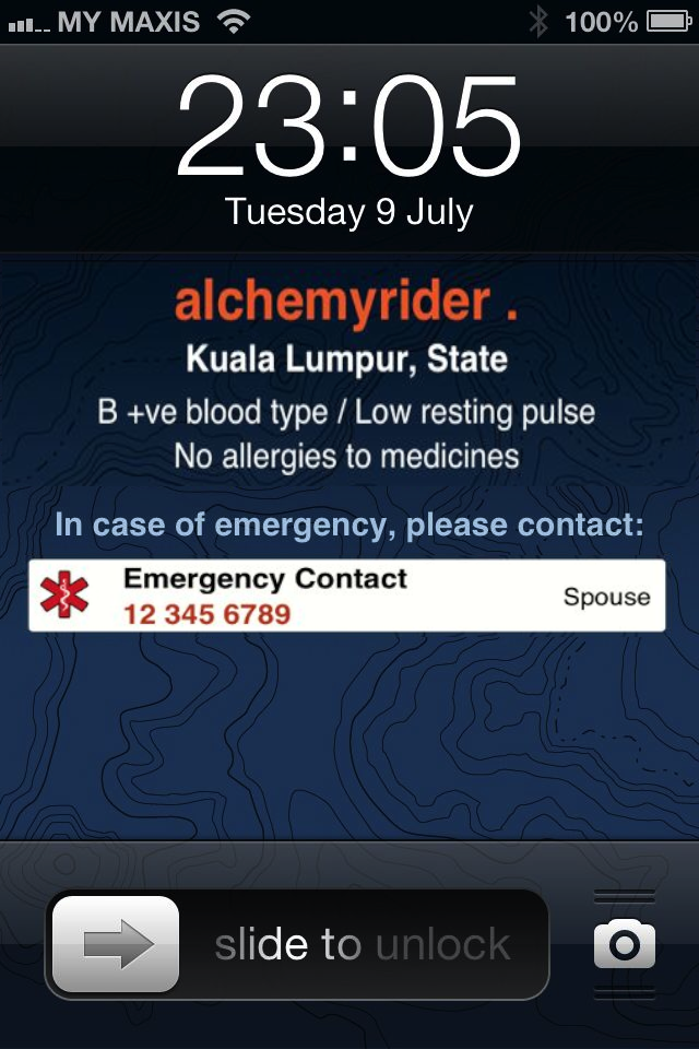
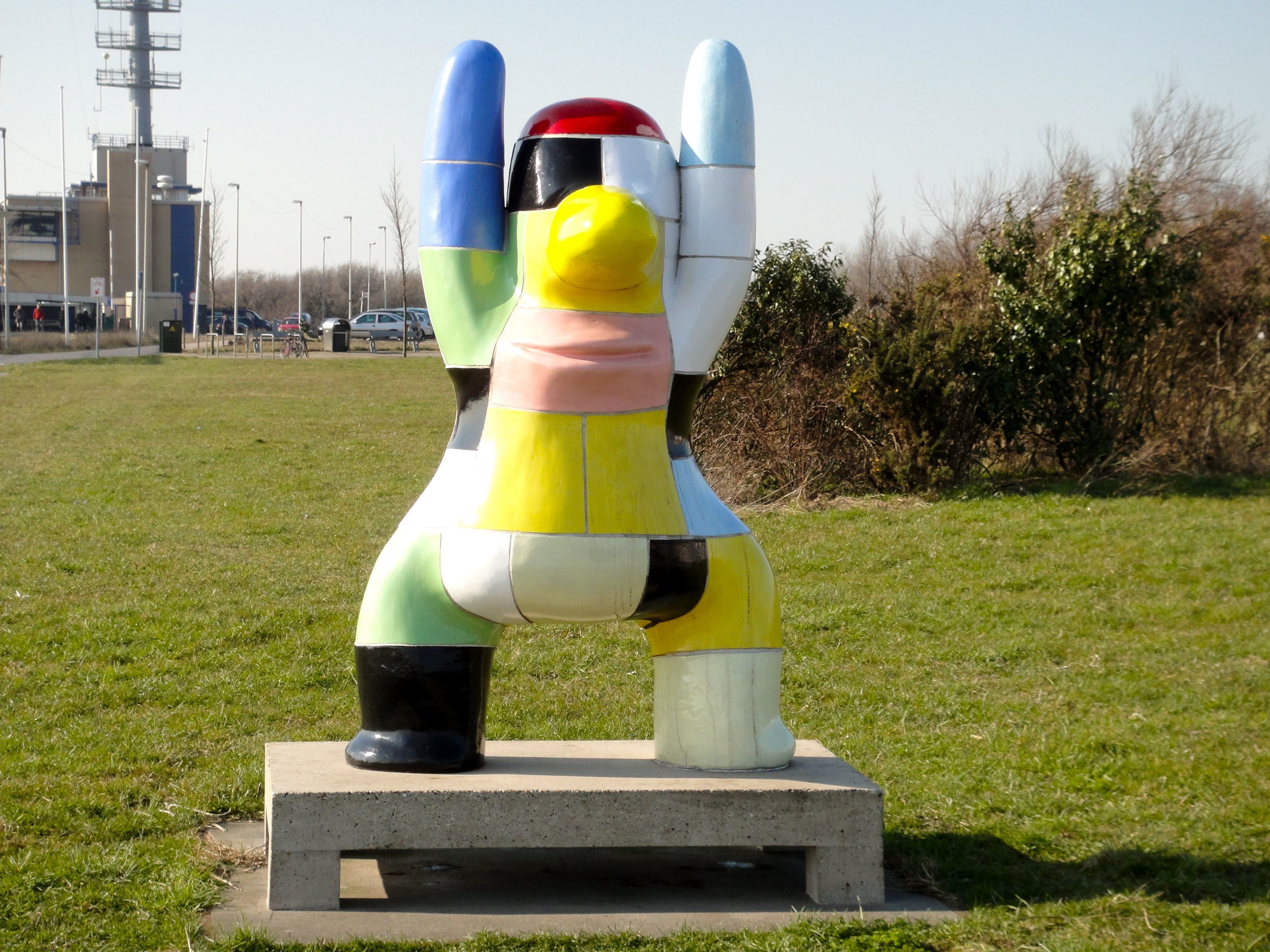
My biker chick and I spent the last two Ramadan months in the Netherlands. Where the summer daylight hours extend for eighteen or more hours. There are advantages to being back in Malaysia where there is little variation in the length of the day throughout the year. Here we have only about fourteen hours between sahur, or the pre-fast meal, and iftar, or the fast-breaking meal.
The length of the fast at this time of the year in northern Europe means that iftar is not until almost 10pm. So rather than spend the last hours sitting at home thinking about food I would go for an evening bike ride. Sometimes on my own and sometimes in the company of David or others from the Not Possibles.

After a loop like this one, and a shower, I was very ready for that iftar drink and meal.
I did the Saturday morning Not Possibles rides as well. Those rides were too much fun to miss. A very large banana and blueberry smoothie at sahur set me up nicely for the ride. I must admit the post-ride koffie verkeerd and appeltaart at The Coffee Club were tempting.
Ramadan rides in Kuala Lumpur are a bit more challenging because of the heat and humidity. Fortunately with iftar being at 7.30pm or so there is no need for evening rides to divert the mind from food and drink. So rather than riding late in the day on an empty stomach, as I did in the Netherlands, I do the Tuesday and Thursday night rides in Kuala Lumpur on a very full stomach. I am usually eager to get started at 9pm, but during this month I am happy for any delay that adds to my digestion time.
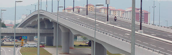
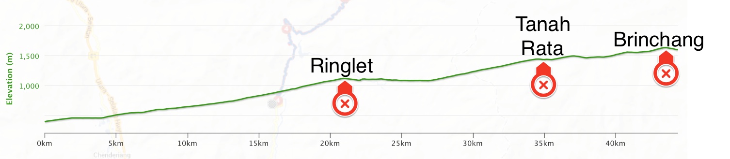
Weekend rides will continue here as well during Ramadan. The heat and humidity mean that I have to be selective about the routes, and the pace. The Guthrie Corridor Expressway route is very open and gets too hot for a ride sans hydration. Which leaves Genting Sempah as the ride of choice. That route winds though forest so is shaded and breezy.
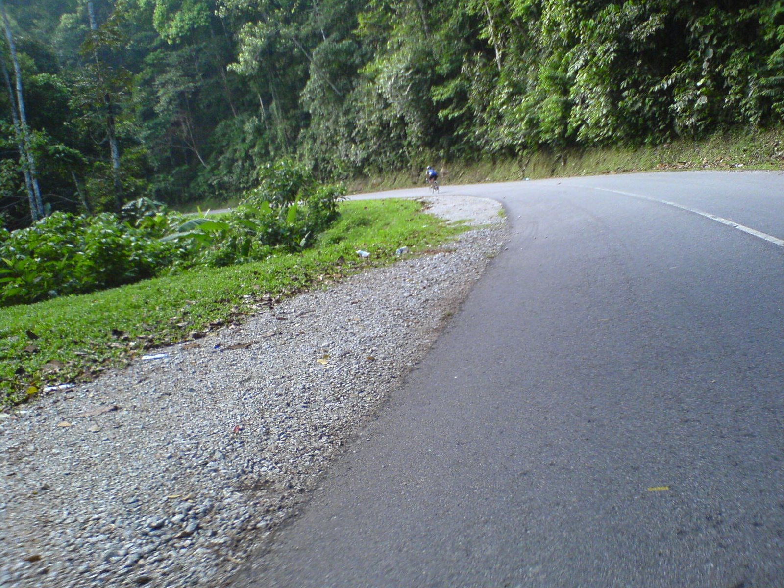
Photo courtesy of abuomar at http://basikalgunung.blogspot.com
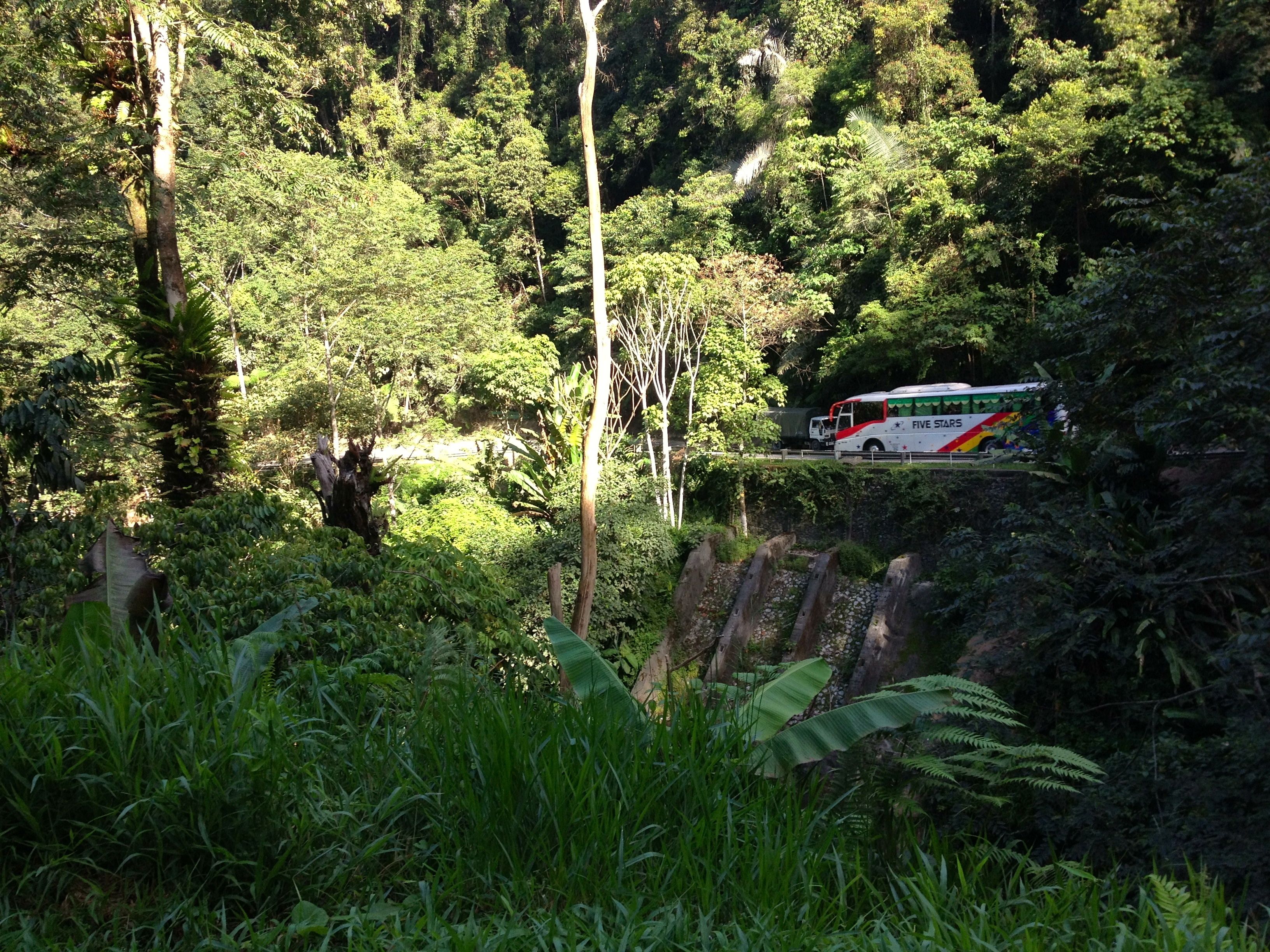
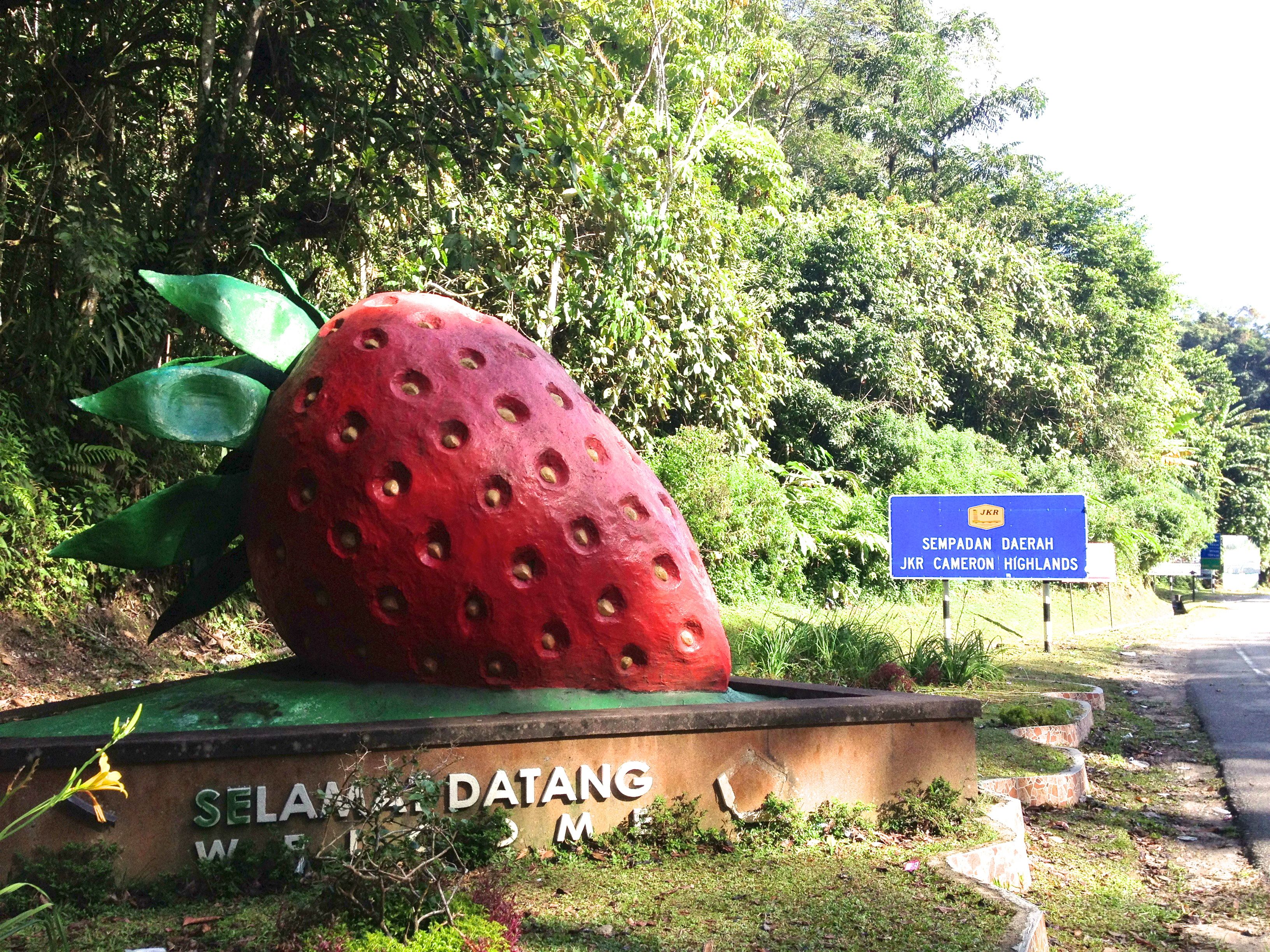
Having lots of scenic spots for rest stops helps too.

Photo courtesy of Mark Lim
There is the elevation to deal with, but if taken at a relaxed pace that isn’t a problem. Most importantly for my non-fasting riding companions, the nasi lemak shop at the end of the ride is open during Ramadan.
I get to ride during Ramadan, and my non-Muslim friends get their teh tarik. Everyone is a winner!