RSS Feed

Tag Archives: Rawang

Road and Rail to Tanjung Malim

Once in a while work schedules allow some of us to do weekday morning rides.  Which means that the KTM Komuter train service can be a part of the route plan.

Tanjung Malim Route

The Komuter service to the north terminates at Tanjung Malim.  So we rode to Tanjung Malim and took the train back to the Kepong KTM station.  Ongoing track upgrading work means that Kepong is still the closest we can get to the Kuala Lumpur city centre.

We parked at the Kepong KTM station for RM4.00 / USD1.00 per day.  Annie, Kieren, Mark and I rolled out of the car park at about 6.00am, heading for Federal Route 1 toward Ipoh.

By the time it was light we had completed the climb of the day, 100 metres /  330 feet over 1.3km /  0.8mi from Templer Hills to Taman Amansiara, and were rolling through Rawang toward Serendah.  Serendah was a good place to stop for breakfast.  Nasi lemak, char koay teow, meehoon soup, half-boiled eggs, iced Milo and coffee teed us up for the rest of the ride.

0C286D9E-CCCB-47E2-B82B-DF1390F78D18

Photograph courtesy of Annie Lim

We were blessed with overcast skies for the entire ride.

7A9A3F30-2103-4B8D-8C32-9A384896983C

Photograph courtesy of Mark Lim

And once we were north of Rawang, we had relatively quiet roads.  Most traffic heading north uses the North-South Expressway, which provided a faster alternative to Federal Route 1.

276D38A3-87A4-43BD-AEE8-7A6F0AD028A8

Photograph courtesy of Mark Lim

We were aiming to catch the 10.15am train from Tanjung Malim.  We had a few delays caused by mechanicals early in the ride.  It was 8.40am when we got to this signboard. We had covered 39km / 24mi.  We still had 34km / to ride to the Tanjung Malim station.

CF620D29-756E-412E-983F-C2A3C79264AF

Photograph courtesy of Mark Lim

We would have to up our pace to make the 10.15am train.  Otherwise, it would be a long wait for the next train, which was not until 11.54am.  We were at the Tanjung Malim station with 10 minutes to spare.

BF82FE87-EB69-4F11-A950-BF991065DE67

Photograph courtesy of Mark Lim

If you look closely, you can see the train on the platform behind us.  Unfortunately, it was the platform across the tracks from us.  So we had to do a quick cyclocross-style scramble up a flight of stairs, across a walkway, and down another flight of stairs.

With minutes to spare!

3FBDA2E5-AEA8-49F9-B028-B9439F698B05

Photograph courtesy of Mark Lim

Definitely a ride to repeat, especially in weather like this.

5DF703F5-51B1-411B-BDD1-B65F98ACBBB5

Photograph courtesy of Mark Lim

More Train Adventures

Marco, Mark and I attempted a ride to the KTM Komuter station at Tanjung Malim.  We started from Mark’s house in Taman Mayang Jaya.  We followed our usual route toward Rawang via the Guthrie Corridor Expressway.  Our plan had been to get onto the LATAR Expressway and ride into Rawang from the south east.

But as we circled around the cloverleaf intersection to get onto the LATAR Expressway, we noticed very dark clouds and rain over Rawang in the distance.  So we looped around the cloverleaf again and got onto LATAR going in the opposite direction, toward Kampung Baru Kundang.  The skies were clear in that direction.

Our new plan was to stop at our favourite noodle shop in Kundang, and weather permitting, get to Rawang from the south west.

KKB Noodles Mark

Photograph courtesy of Mark Lim

It was spotting with rain when we had finished our noodles.  We took a chance and rode toward Rawang anyway.  The drizzle soon stopped, but it had already rained quite hard, and the roads were very wet.  Why do I always have a white jersey on when we hit wet roads?

We rode through Rawang and onto Federal Route 1.  Federal Route 1 is the oldest federal road in Malaysia, as is one of the nation’s earliest public roadways ever constructed.  It runs the length of the Malay peninsula, from the causeway into Singapore up to the Thai border in the north.  As we left Rawang toward Serendah the road dried up.  We had pleasant, overcast riding conditions.  The skies were gloomy, but we thought we had dodged the rain.

KKB Rain Coming Mark

Photograph courtesy of Mark Lim

Not so.  The rain caught up with us while we were stopped at the Petron station in Rasa.  We waited at the petrol station for about fifteen minutes in the hope that the rain would stop.  It did not.

KKB Petron Rasa Marco

Photograph courtesy of Marco Lai

So we rode out into the rain.  By then the conditions were miserable.  Federal Route 1 is a busy road.  We were riding through rain and the spray thrown up by passing vehicles.  We decided to stop at the nearest KTM station, which was 8km / 5mi away in Kuala Kubu Bharu.  Tanjung Malim was a further 20km / 12.5mi away.  Too far given the very wet conditions.

We bought a ticket for our bikes, and tickets for ourselves, and sat at the station with a drink in our hands, waiting for the train.

KKB Bikes Ticket Mark

Photograph courtesy of Mark Lim

The towns along the KTM Komuter line to the north of Kuala Lumpur are smaller than the towns to the south of the city.  Which may explain why there are less people on the trains going south from Kuala Kubu Bharu than there are on the trains going north from Seremban.  We shared the carriage with only two or three others all the way to our stop at Sungai Buloh.

KKB Carriage All to Ourselves Mark

Photograph courtesy of Mark Lim

We hopped off the train at Sungai Buloh, which was the closest station to Taman Mayang Jaya.  By then the rain had stopped, and the sun was out.  We had to negotiate some busy roads for the first few kilometers, but once we were in Kota Damansara the traffic was less fraught.

It was lunchtime when we got to Aman Suria, which is the neighbourhood adjoining Taman Mayang Jaya.  Patty & Pie is in Aman Suria.  Their burger lunch special hit the spot.

KKB Patty & Pie Mark

Photograph courtesy of Mark Lim

Another overall enjoyable ride (bike) and ride (train), despite the rain.

Bicycle Out, Train Home

I wrote about taking road bicycles onto KTM Komuter trains in Bikes on Trains in Kuala Lumpur.  Since then I have incorporated a train into my ride a few more times.

Once was over the Chinese New Year holiday in early February.  In the last week I’ve done two more bike and train rides.

The KTM Komuter network operates on two lines.  The Port Klang line runs east to west, from Batu Caves to Port Klang.  Batu Caves is less than 15km / 10mi from home, so a train ride from there doesn’t make sense.  Port Klang, at 50km / 31mi away, is further, but not far enough away to make a one-way ride to that station seem worth it.  And the ride to Port Klang through an entirely urban landscape is boring anyway.

The Seremban line runs from Tanjung Malim in the north to Rembau in the south.  Tanjung Malim is about 90km / 56mi from Kuala Lumpur.  Rembau is more than 120km / 75mi from Kuala Lumpur.  Those are reasonable distances to cover during a morning’s ride.  Much of the riding in either direction is through countryside and villages, so the views from the bike are pleasant.

KTM Map

We covered both directions last week.

Train Routes

Map courtesy of Ride With GPS


Five of us did a mid-week ride to Rasa station in the north.  The destination was meant to be the railway station in Kuala Kubu Bharu.  Afternoon plans meant that we had to be on the train by noon.  A series of flat tires in Rawang and Bukit Beruntung slowed us down.  We were at risk of missing the train at Kuala Kubu Bharu.

Rasa Station 4 Leslie

Photograph courtesy of Leslie Tong

So we had something to drink in Rasa town, and were in the station with plenty of time to spare.

Rasa Station 1 Evelyn

Photograph courtesy of Evelyn Bird

Rasa Station 2 Leslie

Photograph courtesy of Leslie Tong

Eight of us rode out on Friday morning, bound for Seremban.  The early challenges were to get over the Ampang Lookout Point and Bukit Hantu climbs.

It was a clear morning, so it was worth stopping halfway up Lookout point for a photograph.  The Twin Towers are just about visible to the left of Liang’s head.

Seremban Lookout Point Leslie

Photograph courtesy of Leslie Tong

We needed a bit of sustenance after the 200 meters / 650 feet or so up climb to Lookout Point, and before the 259 meters / 820 feet up Bukit Hantu.

Seremban Batu 14 Breakfast Mark

Photograph courtesy of Mark Lim

Coming off the descent of Bukit Hantu, it was nice to see the Semenyih Dam full again after such a long time.

Seremban Tekala Mark

Photograph courtesy of Mark Lim

25km / 15.5mi later we were in the town of Broga, and desperate for a drink.  It was turning into a hot day.

This caught our attention.

Seremban Broga Drinks Menu Mark

Photograph courtesy of Mark Lim

Waiting for our coconut shakes and pineapple shakes to arrive.

Seremban Broga Evelyn

Photograph courtesy of Evelyn Bird

Delicious!

Seremban Broga Drinks Mark

Photograph courtesy of Mark Lim

Seremban was 30km / 18.5mi away.  Unlike Wednesday’s ride, we all got there with only one flat tire between us.  Which happened, unfortunately, just seven kilometers from Seremban.  Or to put a positive spin on things, fortunately, because the flat came just after a 150 meter / 490 feet climb.  Which gave everyone the opportunity for a rest.

Seremban Flat Leslie

Photograph courtesy of Leslie Tong

We got to Seremban in time for food and drinks at the Pasar Besar Seremban, which is the main wet market in the city.  The fresh vegetables, meat and fish are sold on the first floor, and part of the second floor.  The rest of the second floor is occupied by food stalls.

There are ramps leading up to the second floor, so we rode our bicycles right up the the food stalls.

Seremban Market Evelyn

Photograph courtesy of Evelyn Bird

The railway station is a short ride from the market.  Marvin forgot his cycling shoes, but his sandals were a good stand-in.

Seremban Station 4 Mark

Photograph courtesy of Mark Lim

We discovered that Fridays are not the best day to ride the train with our bikes.  There were a lot of people waiting on the platform for the 2.15pm train.  Luckily there was space in the last carriage for us and our bikes.

Seremban Train

More people with luggage got on at each successive station, and before long it was standing room only, with people squeezed in between our bikes.  Friday afternoons must be a popular time for people to start their weekend trips.

Quite a lot of people got off at the Bandar Tasik Selatan station, which is linked to the Terminal Bersepadu Selatan, KL’s main long distance bus terminal.   Some people got on at that station too though.  So it wasn’t until the train had passed through KL Sentral station that seats became available again.

Lay and I got off the train at Bank Negara station.  The others in our ride group got off one stop later, at Putra station.

We needed food and drink en route to home from the station.  League of Captains provided the coffee, and Souled Out on Jalan Ampang provided the satay.

We may never go this far to get our bicycles onto train tracks,

Seremban Rail Bike

but we will definitely be on the train with our bikes again and again.


Audax BRM300 Malaysia 2017

audax-brm300-banner

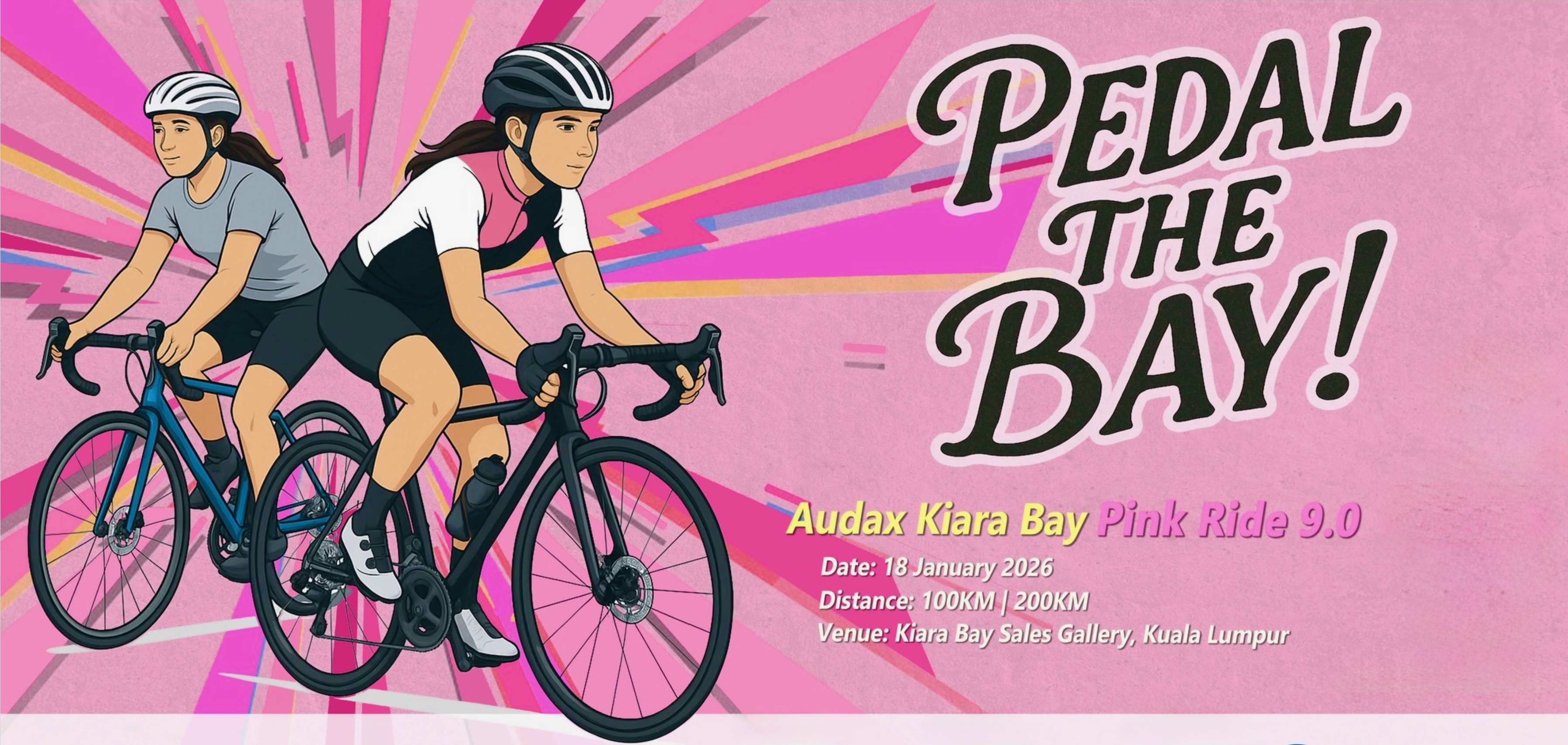
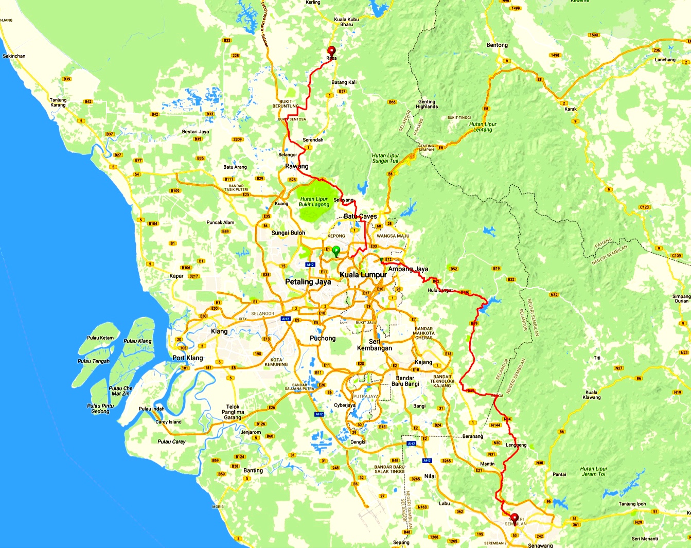
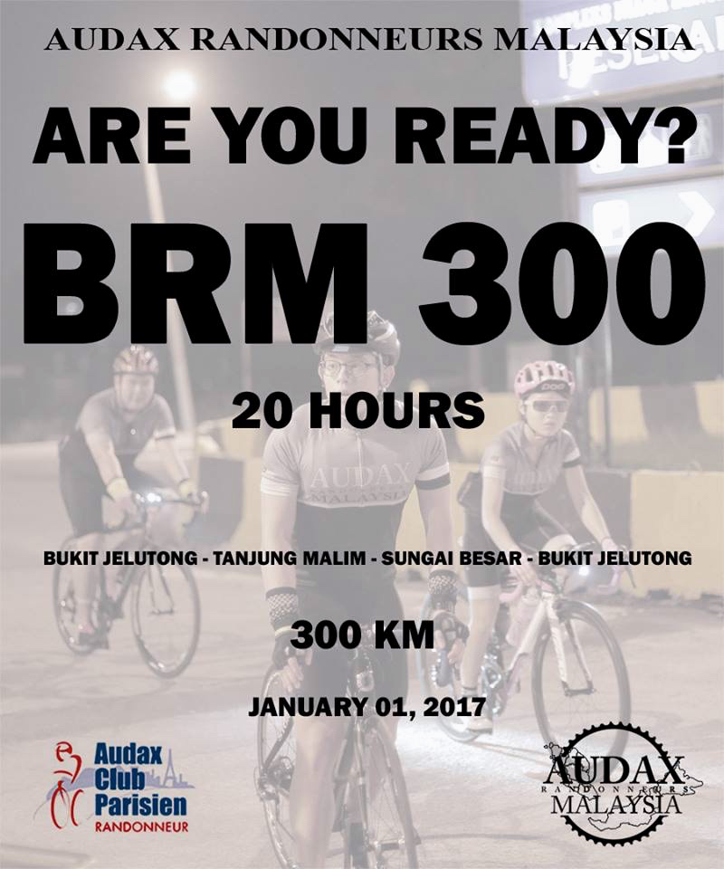
Graphic courtesy of Audax Randonneurs Malaysia

December 31st for most people means staying up until midnight to watch fireworks and to welcome in the new year.

For about 550 arguably slightly unhinged people, December 31st 2016 meant either staying up past midnight, or waking up in time, to make the 2.00am start of the the Audax Randonneurs Malaysia BRM300.

I was amongst that crowd.  Regular readers of this blog will recall that after the very first official Brevet in Malaysia, the BRM200 in January 2016, I said that it was unlikely that I would ride another Randonnée.

“Famous last words” is a quote introducing my post about the BRM400, which I rode in September 2016.

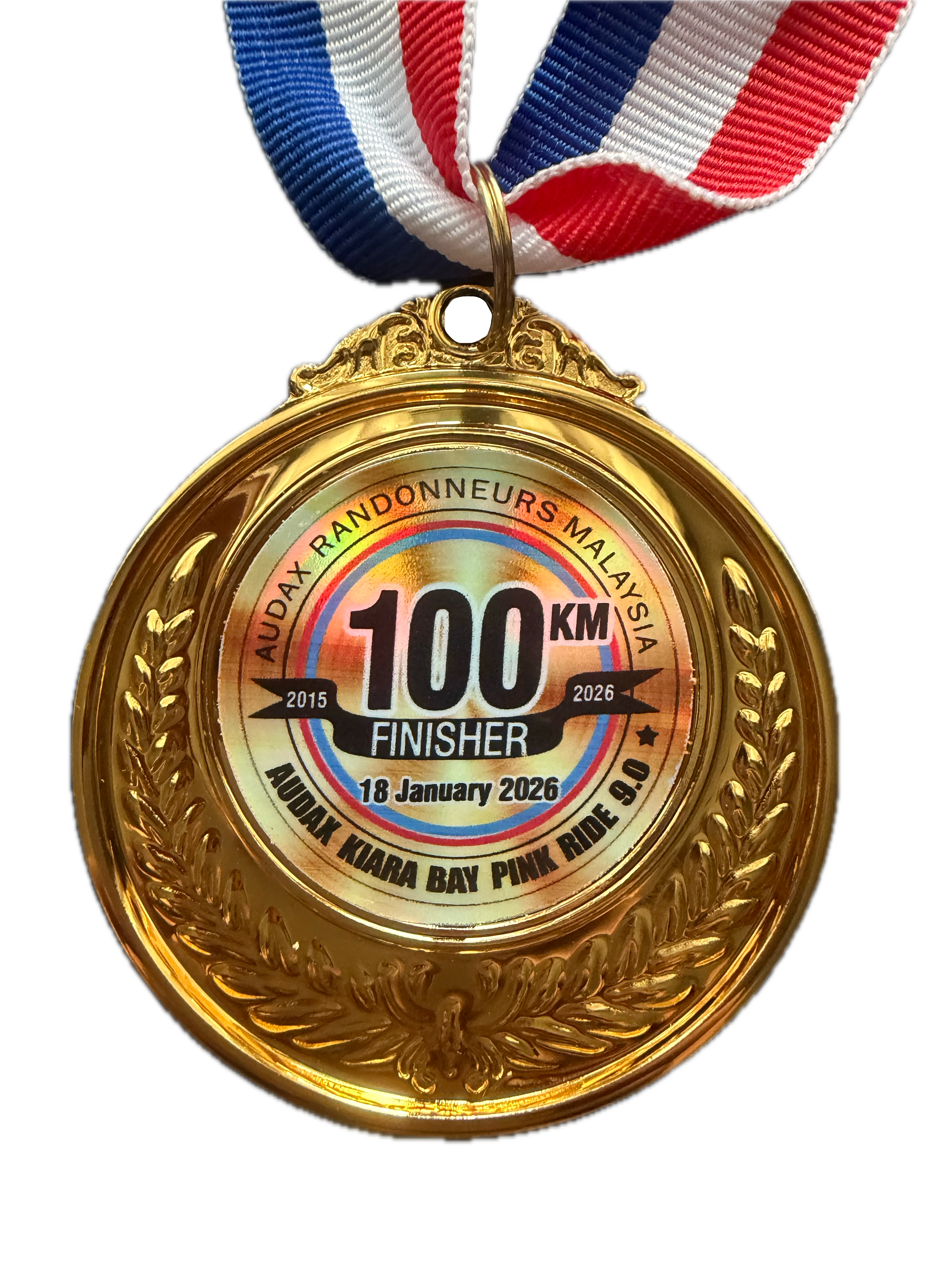
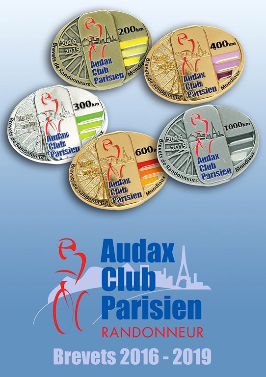
My excuse for participating in the BRM300 is that my Biker Chick said that I should, because “The colours of the medal are nice.”

audax-brm300-medals

Photograph courtesy of Audax Club Parisien

I didn’t have a comeback for that.  So I booked a room in the Acappella Suite Hotel in Shah Alam, and Biker Chick and I made a weekend getaway out of the ride.

The BRM300 started in Bukit Jelutong, Shah Alam.  I have driven there many many times for weekend rides.  So why the need for a hotel this time?

Biker Chick and I live a stone’s throw from the PETRONAS Twin Towers.  Where most of Kuala Lumpur seems to congregate as the sun sets on New Year’s Eve.  Roads in the area become clogged, and are then closed to further traffic as midnight approaches.  I really had no choice but to flee to the relative calm of Shah Alam before the area around the Twin Towers ground to a standstill.

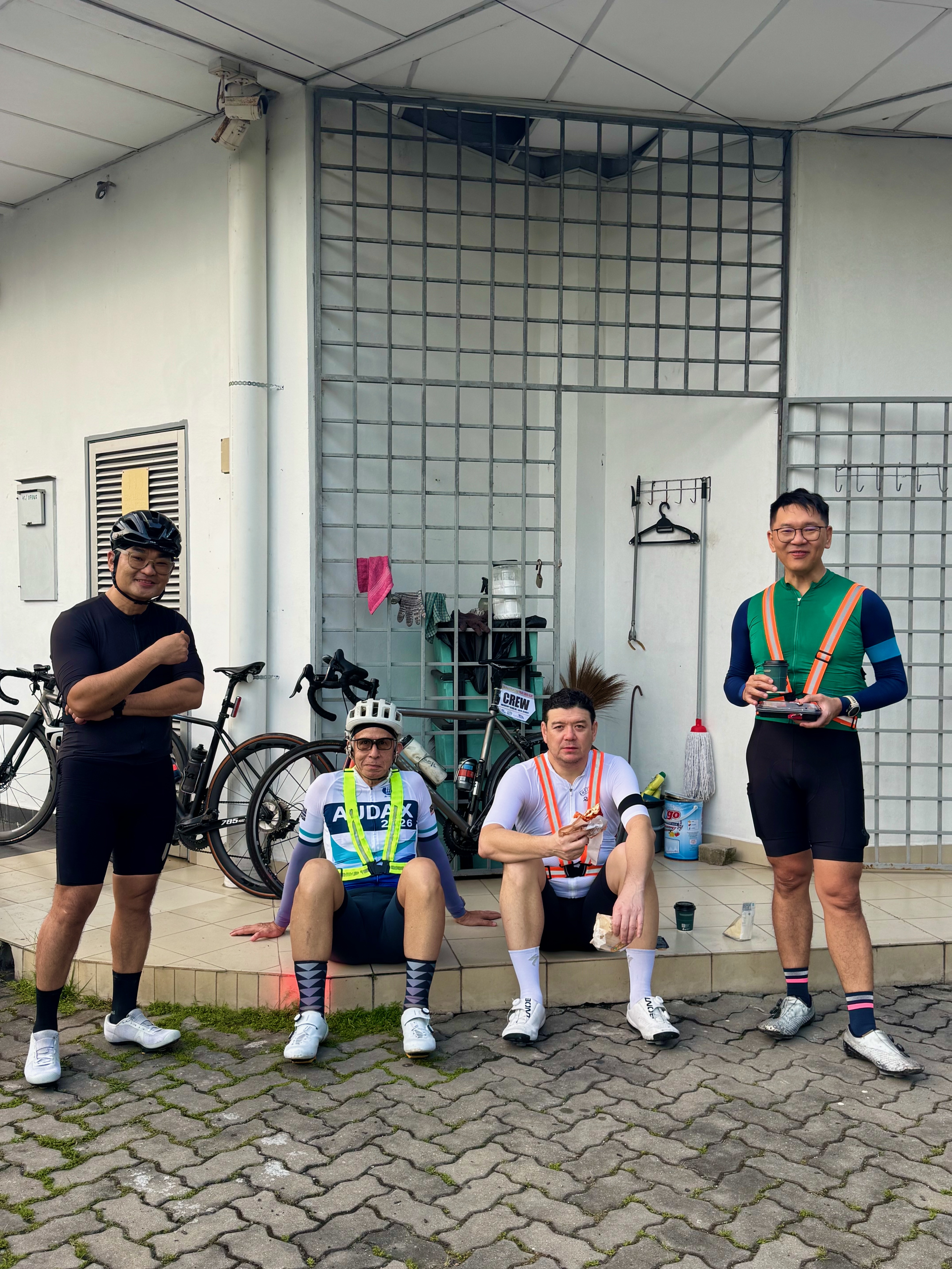
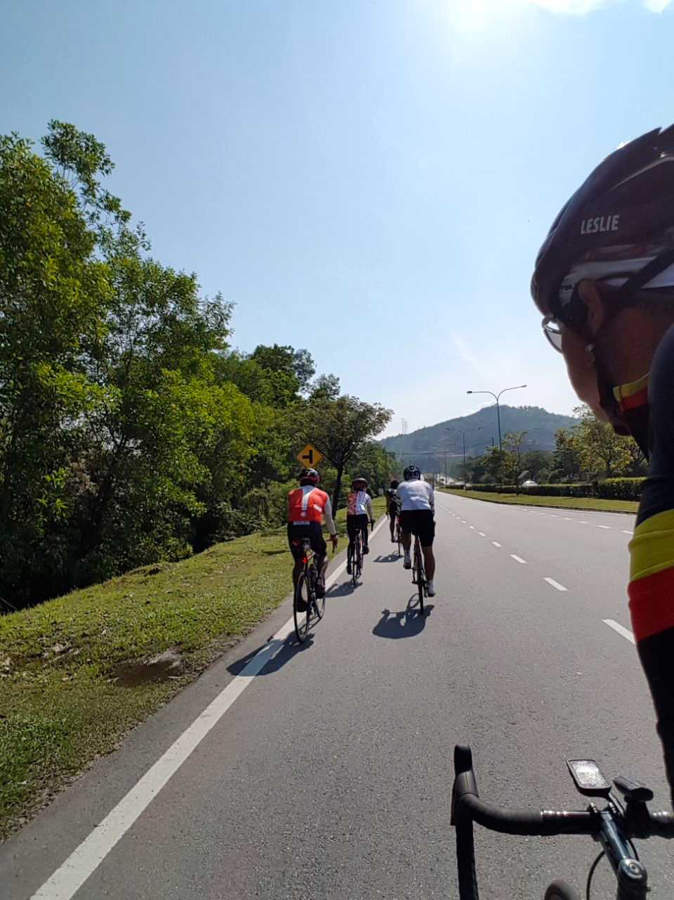
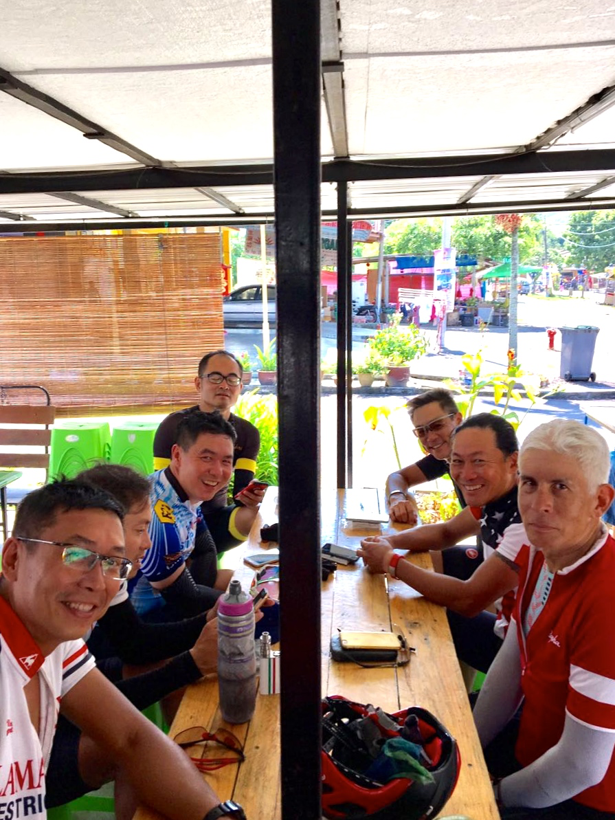
Biker Chick dropped me off at MyMydin in Bukit Jelutong at 1am on New Year’s Day.  Lay, Liang, Chon and Mark were already there.  They would be my riding buddies for the next fifteen or so hours.

audax-brm300-start-1-marco-lai

Photograph courtesy of Marco Lai

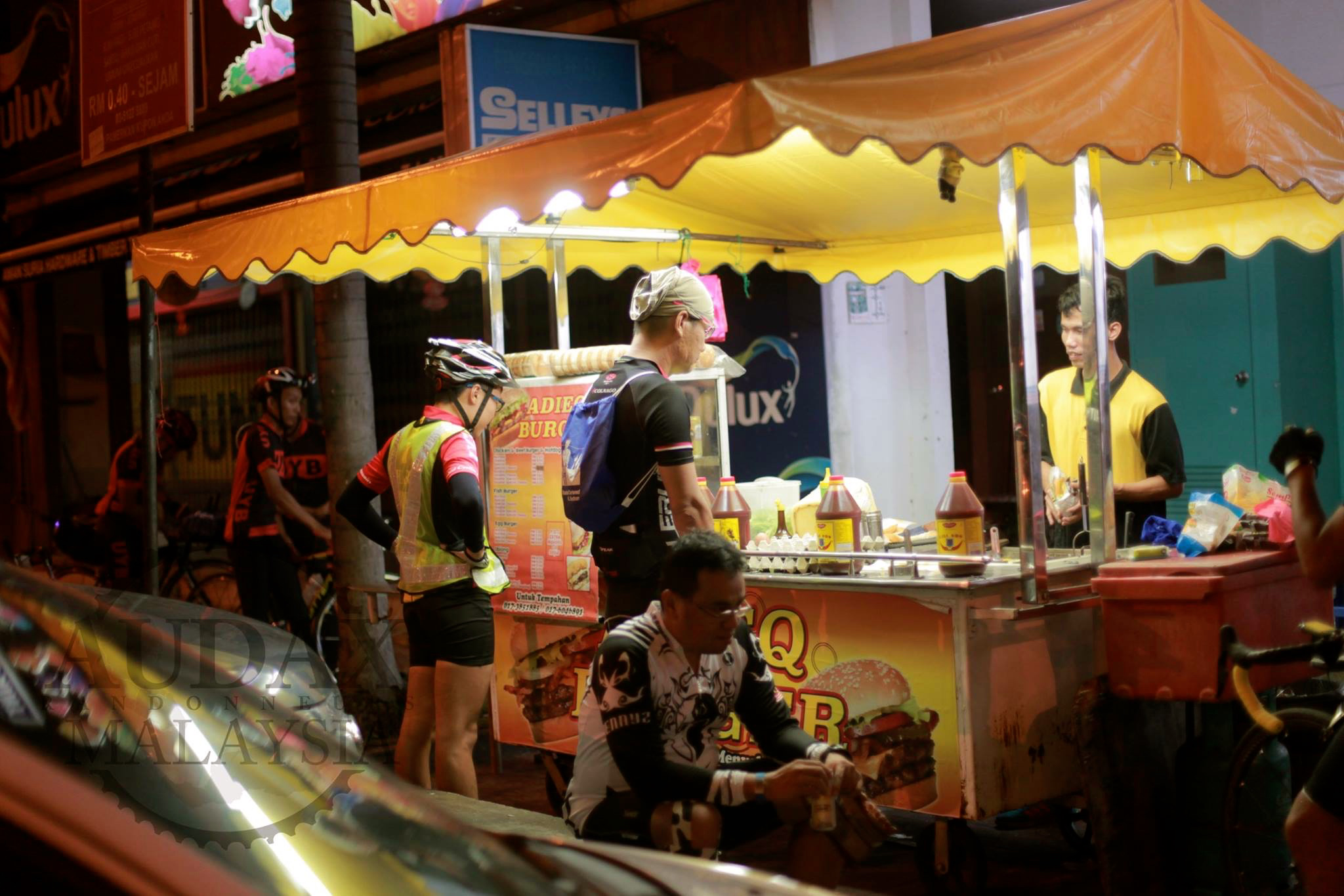
The MyMydin area was an excellent choice.  There is lots of parking, and options for food and drink.  A number of restaurants, a 7-Eleven,  and even a burger stall or two.

Audax BRM300 Ramly Burger Sam Tow.png

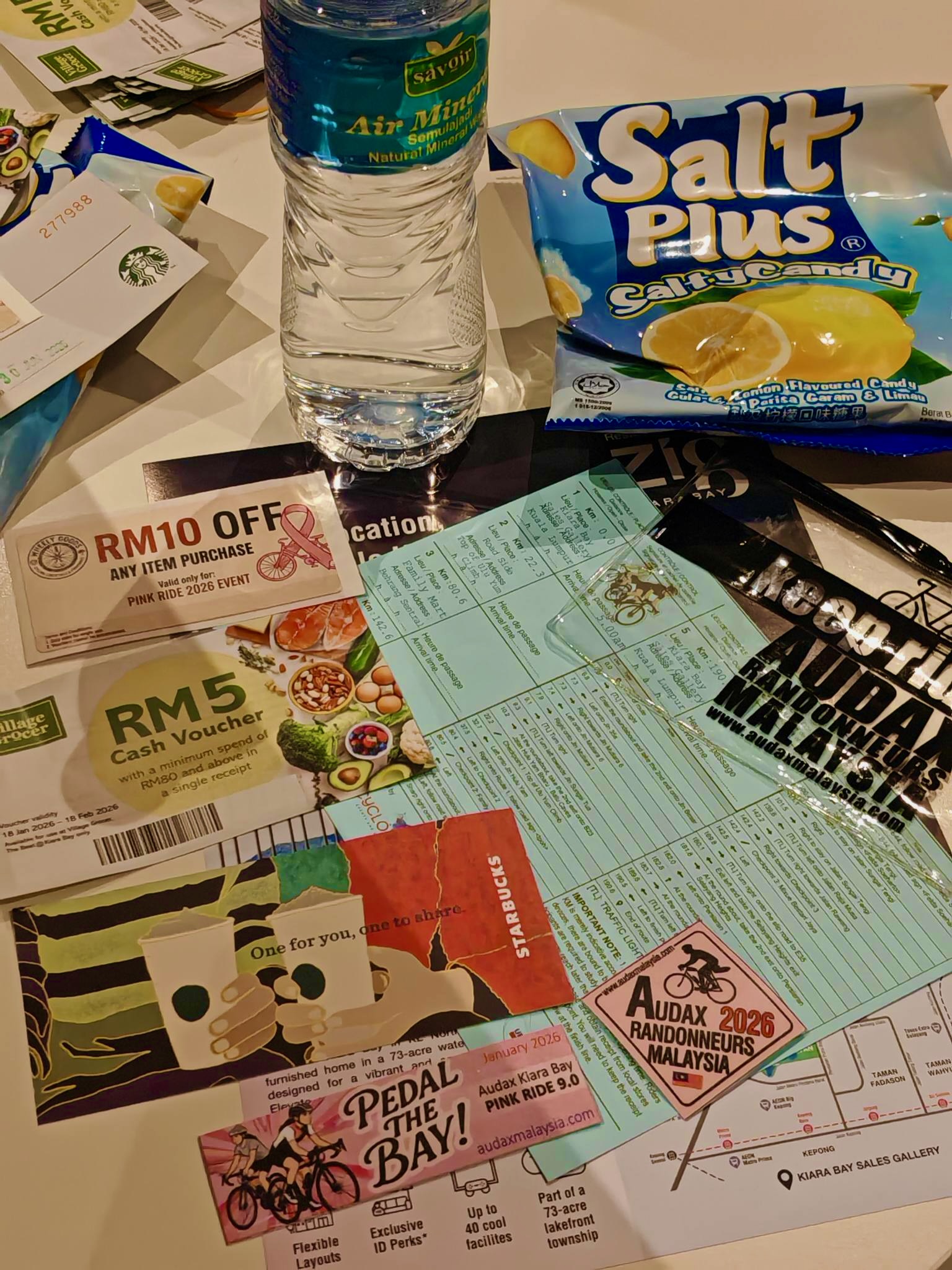
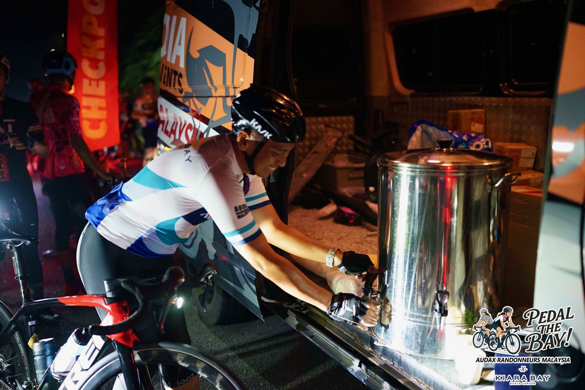
The Audax Randonneurs Malaysia team had been at the start since 11.00pm, ready to distribute brevet cards.  A brevet card and a cue sheet are the two essential documents for a randonneur.  The cue sheet indicates the route and the location of the checkpoints.  The brevet card is stamped at each checkpoint.  The stamps verify that the rider passed through those checkpoints between the opening and closing time for each checkpoint.

There was a bit of rain about forty five minutes before the start.  As it turned out, wet weather gear was not required because the shower was short and localised.  Although the ground was wet at MyMydin, the roads were dry by the time we got to Jalan Sungai Buloh.

Audax BRM300 Start Sam Tow.png

Photograph courtesy of Sam Tow

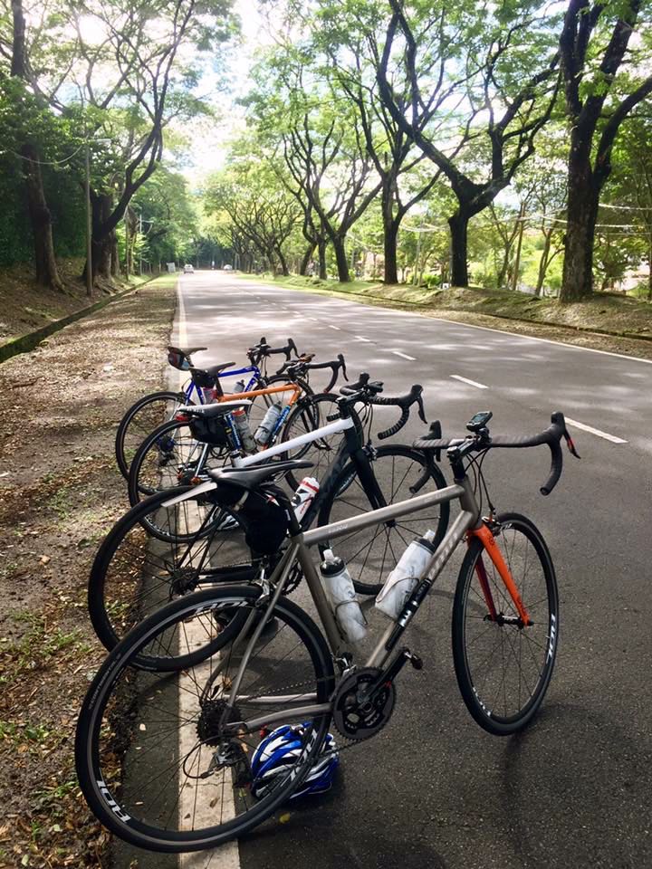
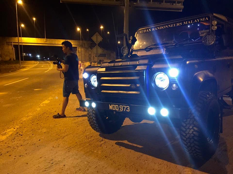
With our brevet cards and cue sheets in our pockets, we rolled out exactly at 2.00am, behind the Audax Randonneurs Malaysia liveried Land Rover.  With Sam Tow, the President of Audax Randonneurs Malaysia, at the wheel.

audax-brm300-land-rover-sonny-sk-chang

Photograph courtesy of Sonny SK Chang

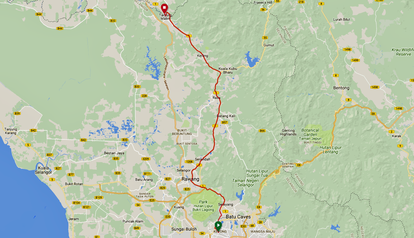
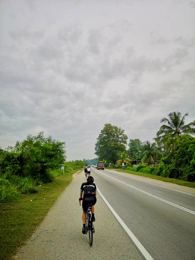
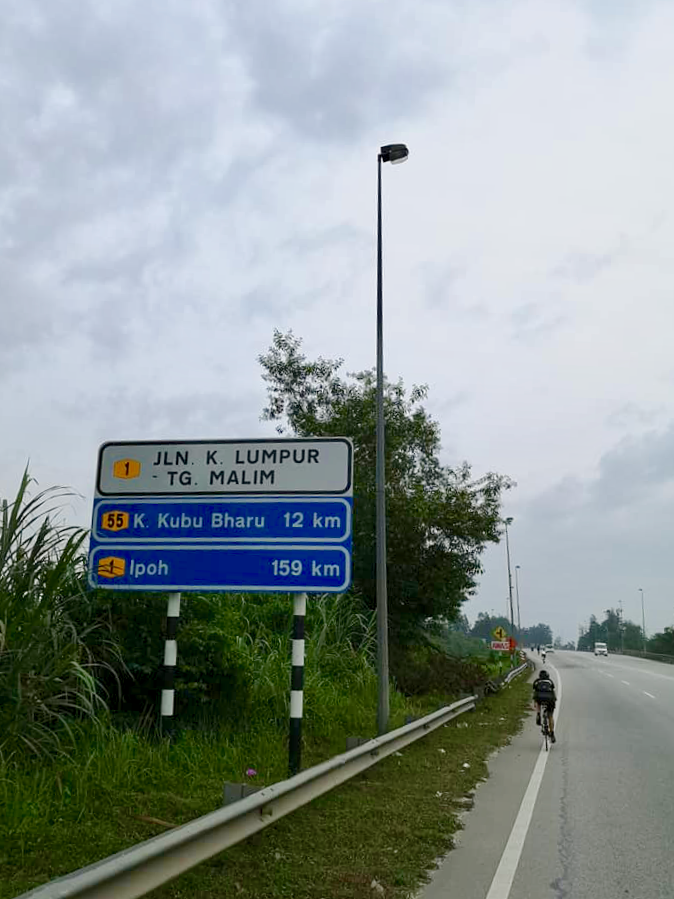
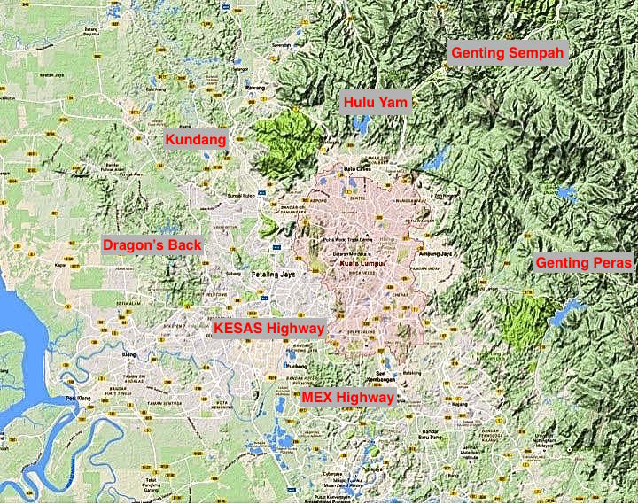
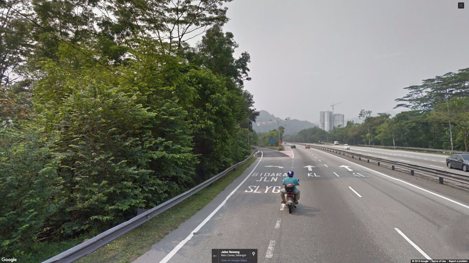
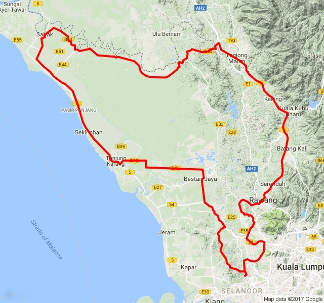
We headed north out of Bukit Jelutong, through Rawang, toward Tanjong Malim and Checkpoint 1.

audax-brm300-route

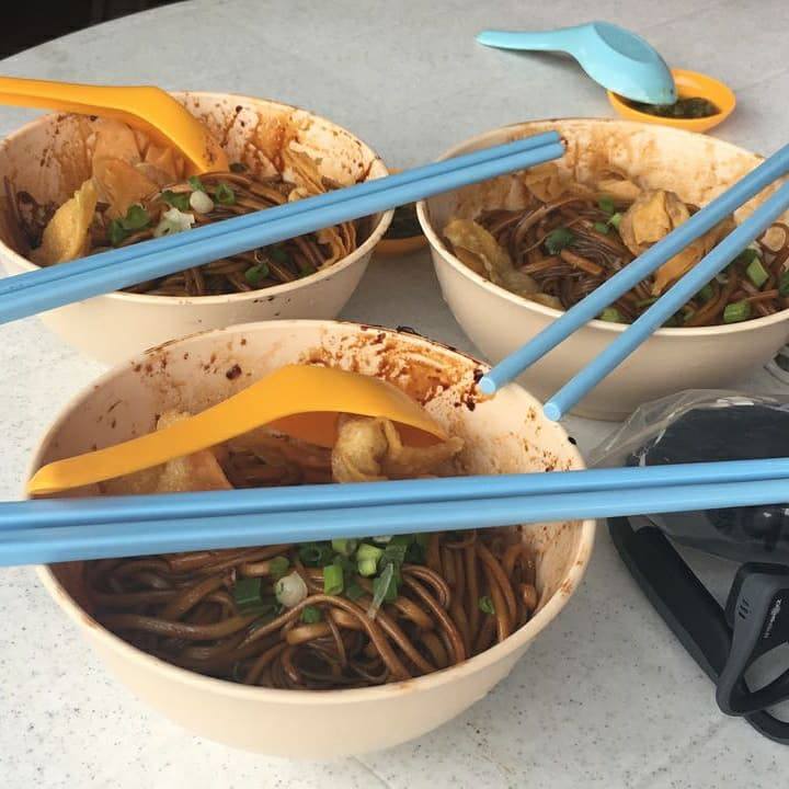
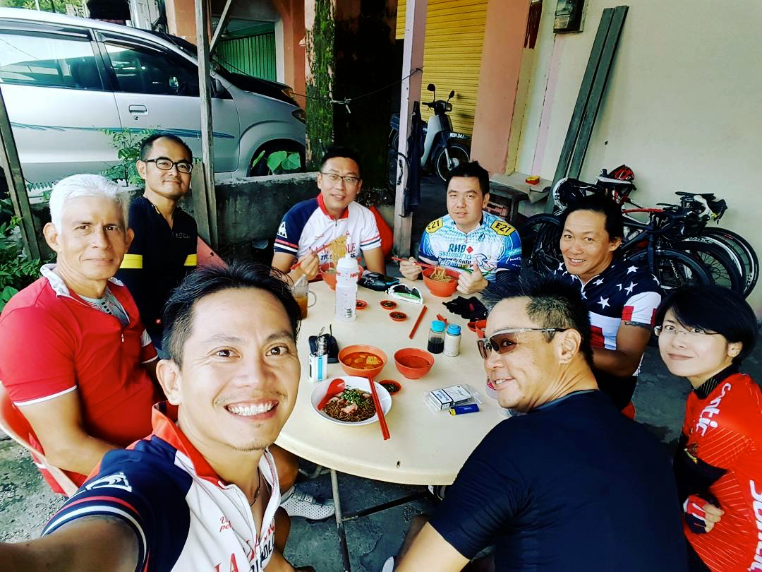
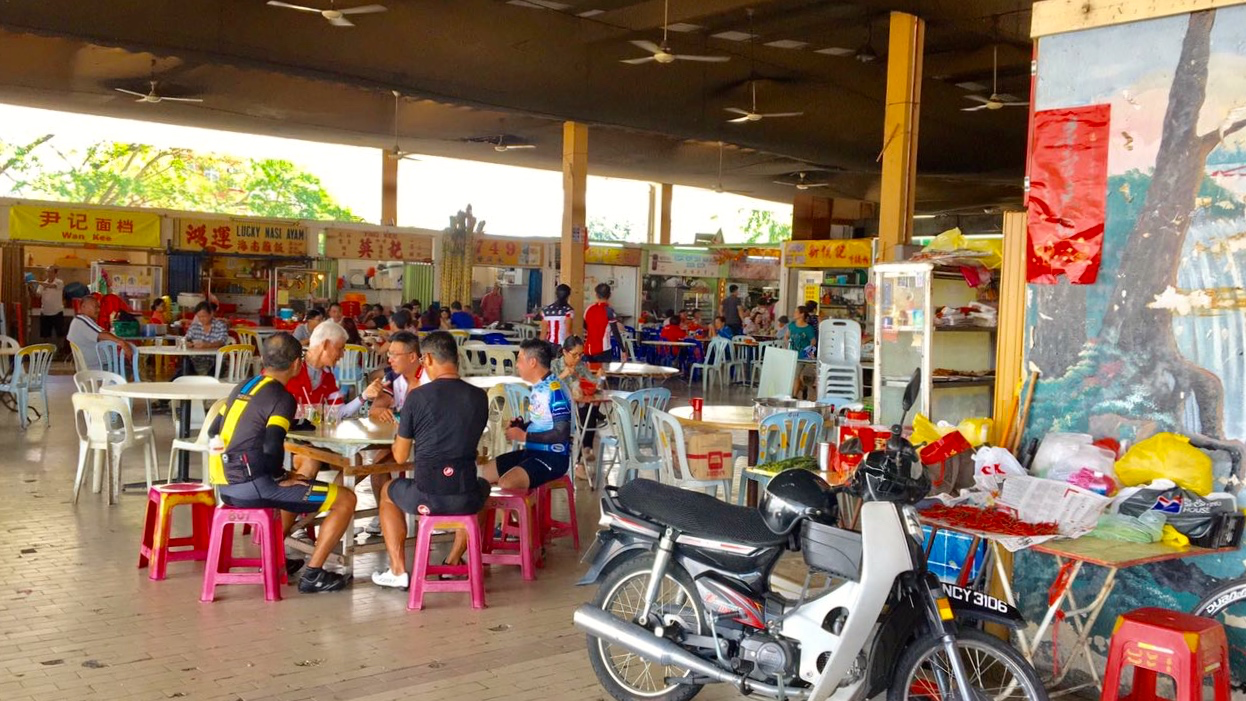
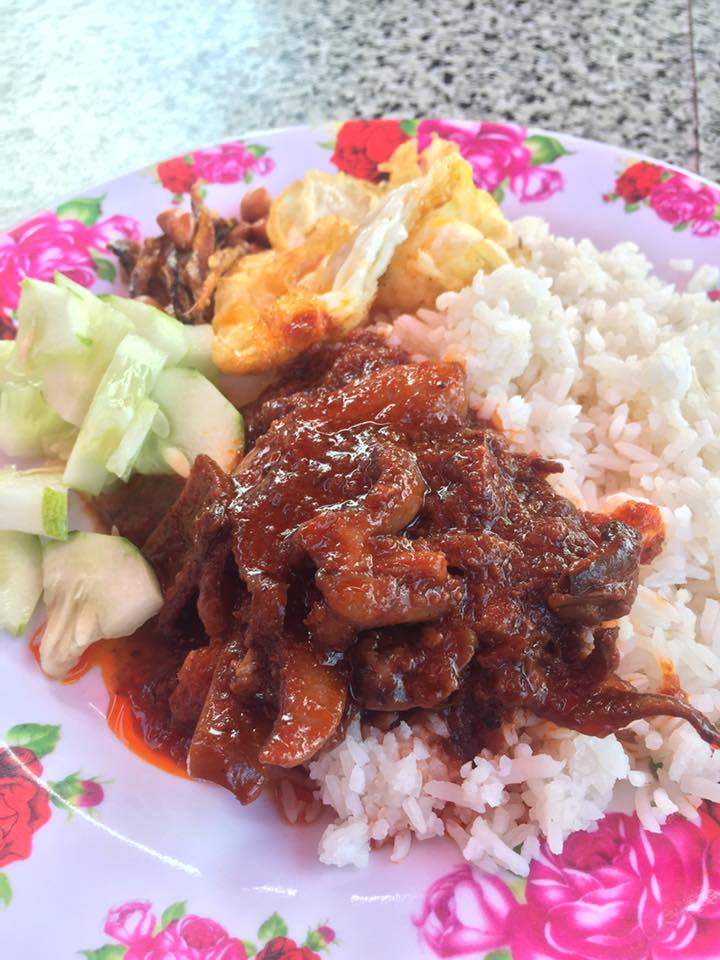
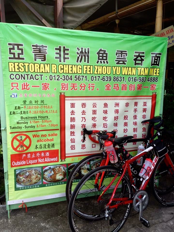
We made our first stop in Rawang.  It was almost 4.00am, and some of the guys were hungry.  Restoran Al Basheer was one of the few eateries open at that hour.  In 30 minutes we had finished our roti canais and iced Milos, and were on our bikes again.

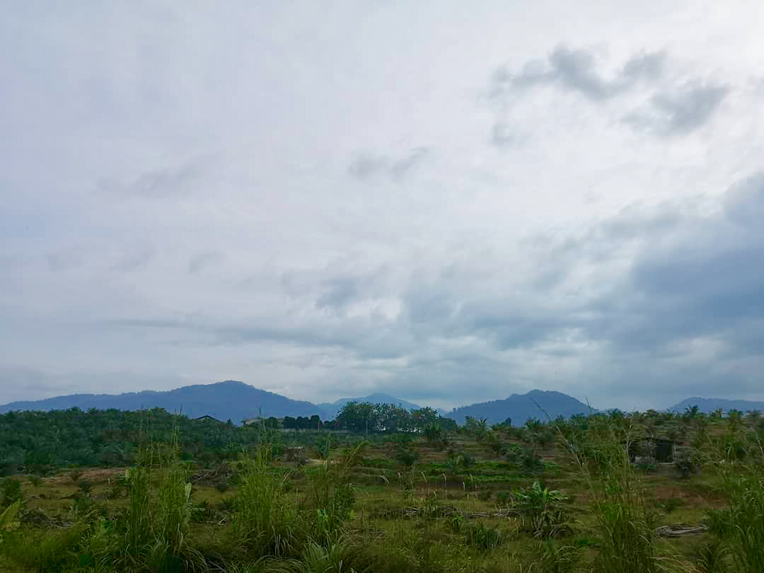
The moon was in a waxing crescent phase, with only 3% of it illuminated.  The sky was very dark.  Until we got to Rawang, the lack of moonlight wasn’t much of a problem.  There were street lights along most of our route to that point.  In some places the artificial lighting was so bright that we didn’t need our bike lights.

audax-brm300-sam-tow-lee-lee-k

Photograph courtesy of Lee Lee K

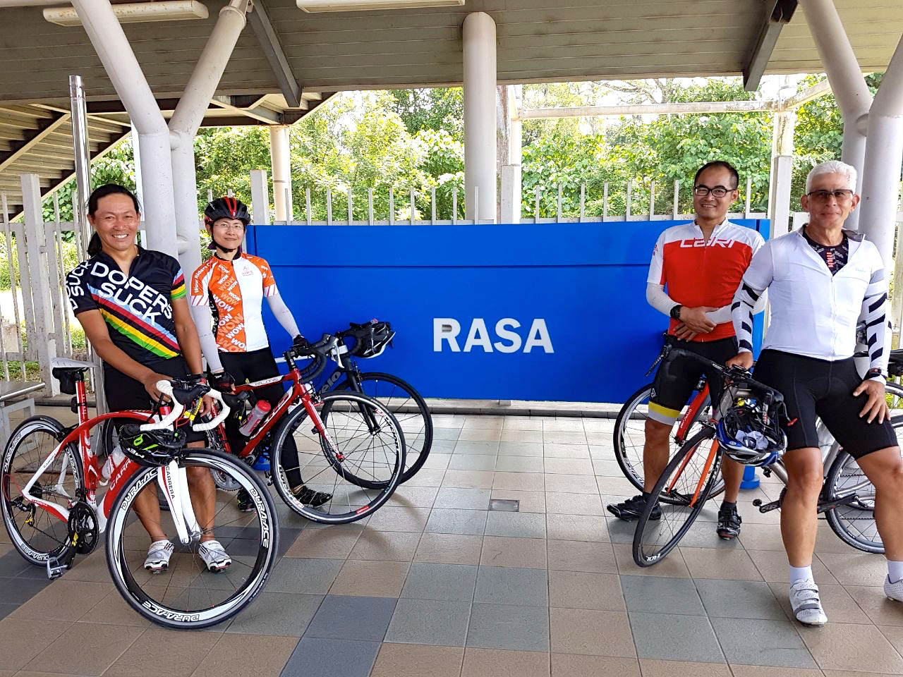
That changed after Rawang.  It was very dark between the towns of Serendah, Rasa, Kering and Tanjong Malim.  My riding buddies and I appreciated having 1,400 lumens from my Lezyne Deca Drive 1500XXL lighting up the road ahead when necessary.

It took us 4 hours and 20 minutes to get to Checkpoint 1 in Tanjong Malim.  By which time the sky was brightening, ahead of the sun rise.

audax-brm300-dawn-breaking-chris-soh

Photograph courtesy of Chris Soh

Lee Lee K, Stanley Low and Ong Hock Seong were the Audax Randonneurs Malaysia committee members and volunteers waiting outside the Restoran D Warna Warni to stamp our brevet cards.

Audax BRM300 Checkpoint 1 Volunteers Sam Tow.png

Riders spent time at Checkpoint 1 eating,

Audax BRM300 Checkpoint 1 Food Sam Tow.png

drinking, refilling bottles, and in some cases, napping.

Audax BRM300 Checkpoint 1 Sleep Sam Tow.png

And waiting in line for a bathroom!

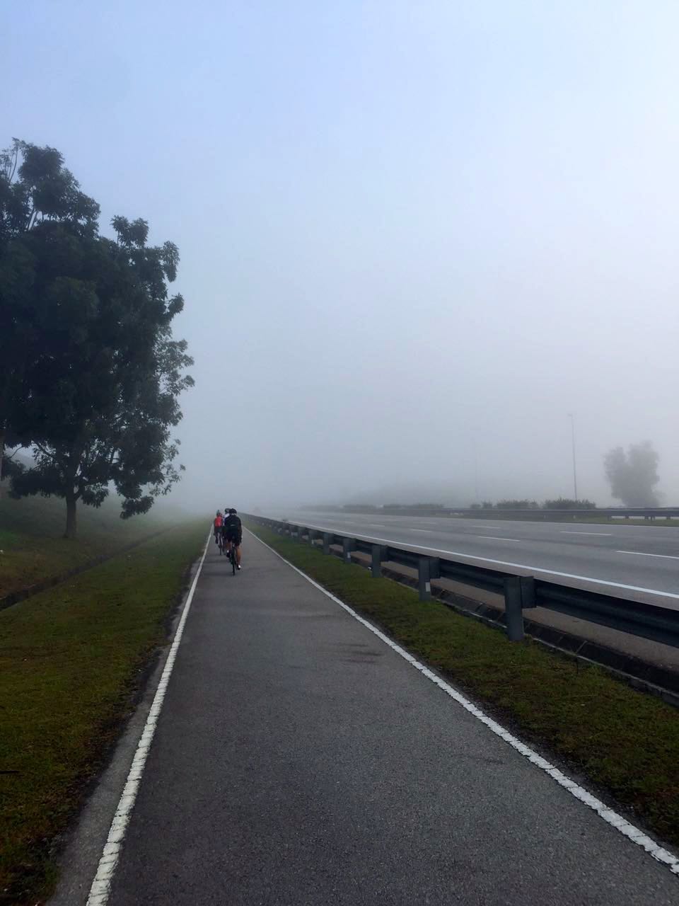
It was light when we pushed off toward Checkpoint 2 in Sungai Besar.  There had been some rolling terrain between Rawang and Tanjong Malim.  After we made the left turn at Behrang we hit some steeper hills.  That was the last climbing of any consequence until we got to the Dragon’s Back climbs at the very end of the ride.

audax-brm300-through-the-estates-peter-lim-hang-weng

Photograph courtesy of Peter Lim Hang Weng

After those hills we were on Jalan Sungai Panjang.  A 45km / 28mi stretch through oil palm estates on one side, and secondary forest on the other.  With almost no sign of habitation for most of its length.  Certainly no roadside stalls or restaurants.

We had ridden Jalan Sungai Panjang in the opposite direction during the BRM200.  I had forgotten just how boring that had been.  Especially the sections where the road was straight and seemingly never-ending as it disappeared into the horizon.

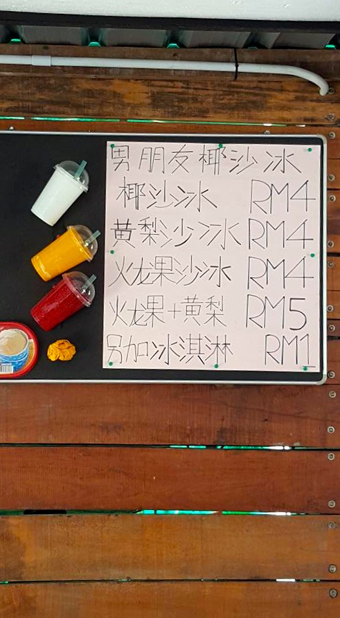
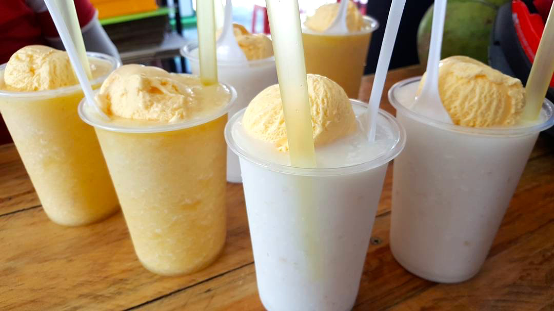
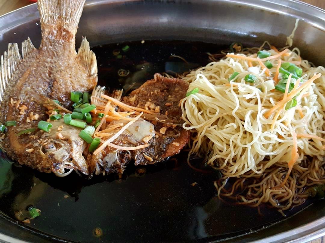
We pulled over 40km / 25mi after leaving Tanjong Malim for a stretch and a rest.  We stopped again at the first sign of civilisation in 35km / 22mi.  There were some sundry shops at Merbau Bedarah, where we bought cold drinks and some cakes.

I had packed some peanut butter and some kaya toasties.  It was my first attempt at carrying food other than energy bars and gels.  I had given up gels some time ago.  I think I’ll give up energy bars in favour of toasted sandwiches from now on.

Apart from eating and drinking, it was also time to smear on some sun block.  The weather had been overcast and cool for longer than is usual in the morning, but the sun had broken through the cloud cover.  It was definitely time for some protection from sunburn.

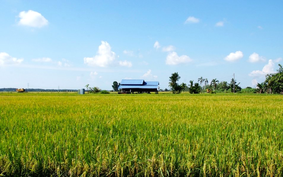
4km / 2.5mi from Merbau Bedarah the oil palm and secondary forest was replaced by paddy fields.

audax-brm300-sekinchan-rice-fields-tourism-selangor-my

Photograph courtesy of http://www.tourismselangor.my

But only for 6km / 4mi before the oil palm estates taook over the landscape again.

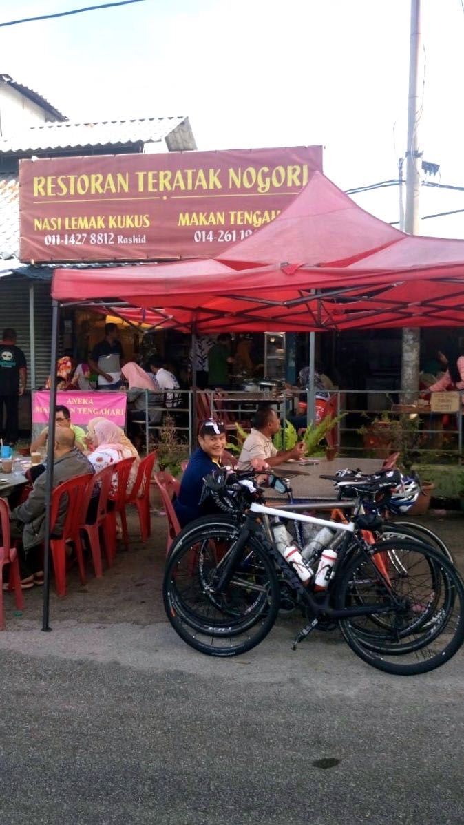
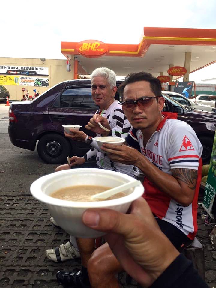
We had 40km / 25mi to go to Checkpoint 2.  At 10.45am we got to Sabak Bernam.  We were still some way from Checkpoint 2, but we were hot, thirsty, and hungry.  We could not resist the attractions of KFC.

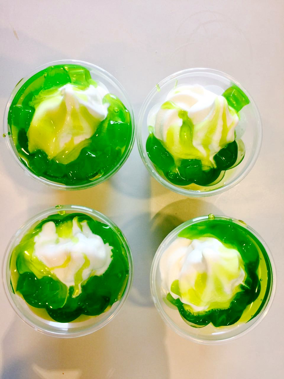
We spent 45 minutes ploughing through plates of fried chicken and chicken nuggets.  That perked us up enough to get us to Checkpoint 2, the McDonald’s in Sungai Besar.  We had our brevet cards stamped as soon as we got there.  Then we stood outside eating lime sundaes.  Which were just as good as they had been during our credit card tour to Teluk Intan.

mcdonalds-lime-sundaes-marco

Photograph courtesy of Marco Lai

There was about 100km / 62mi to go.  We were on our way from Checkpoint 2 after a 30 minute stop.

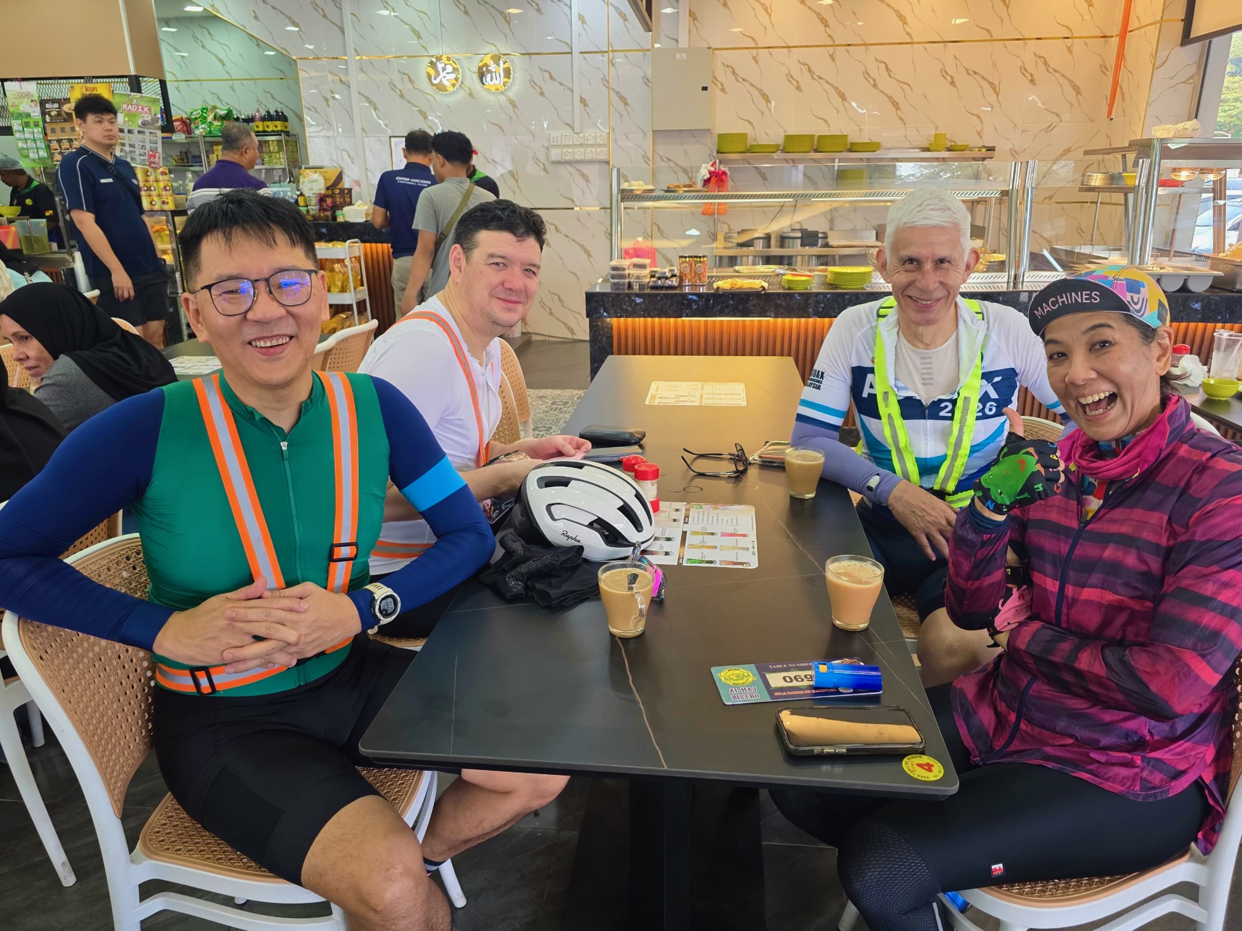
As we drew close to Sekinchan we caught up to Danial and Farid.  Two guys who ride with another group of cyclists that Lay is also a part of.  The seven of us rode together the rest of the way.

Marco wasn’t able to ride the BRM300, but he met us south of Sungai Besar, and took on official photographer duties.

audax-brm300-toward-bestari-jaya-marco-lai

Photograph courtesy of Marco Lai

The sun kept breaking through the clouds often enough for us to get hot and sweaty, so we needed to stop in Sekinchan to get some ice and refill bottles.  We hung out in the shade for 25 minutes before moving on.

audax-brm300-sekinchan-marco-lai

Photograph courtesy of Marco Lai

After Tanjung Karang we had some long arrow-straight roads to endure.  Jalan Raja Musa includes a 7km / 4mi stretch heading due east, then a ninety degree right turn and 2km / 1mi due south, followed by a ninety degree left turn  and a further dead straight 17km / 10.5 mi.

The sun was still out while we were on Jalan Raja Musa, but an hour later, ominous looking clouds were on the horizon.

audax-brm300-rain-coming-ray-lee

Photograph courtesy of Ray Lee

The route had been fairly easy to follow throughout the ride, although there were a few tricky sections.  I had learned my lessons from the BRM400.  Which were to study the cue sheet and a map of the route before starting the ride.  I also added the distances between turns to the cue sheet, so I wouldn’t have to rely on potentially faulty mental calculations mid-ride while trying to figure out how far it was to the next turn.

I’m happy to report that we didn’t get lost this time.

brm300-cue-sheet-revised

The others stopped at the Burger King in Bestari Jaya.  Hunger had struck again.  Lay and I didn’t need to eat, so we pressed on.

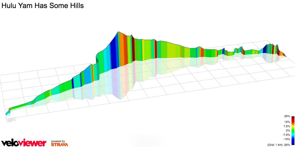
The slightly rolling roads after Bestari Jaya were the merest hint of what was the final act of the BRM300.  The 16.5km / 10mi and 360 meters / 1,180 feet of climbing that is Persiaran Mokhtar Dahari.  A real sting in the tail after more than 280km / 174mi.

Petrol stations are a regular stopping point on long rides.  Lay and I bought a final cold drink at the Caltex station at Bandar Seri Coalfields.  The last petrol station between us and the Dragon’s Back.

audax-brm300-caltex-happy-cycling-photos

Photograph courtesy of Happy Cycling Photos

There were quite a few other randonneurs there as well.  All psyching themselves up for the test ahead.

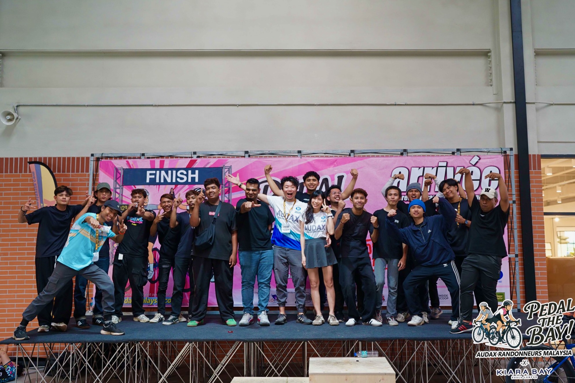
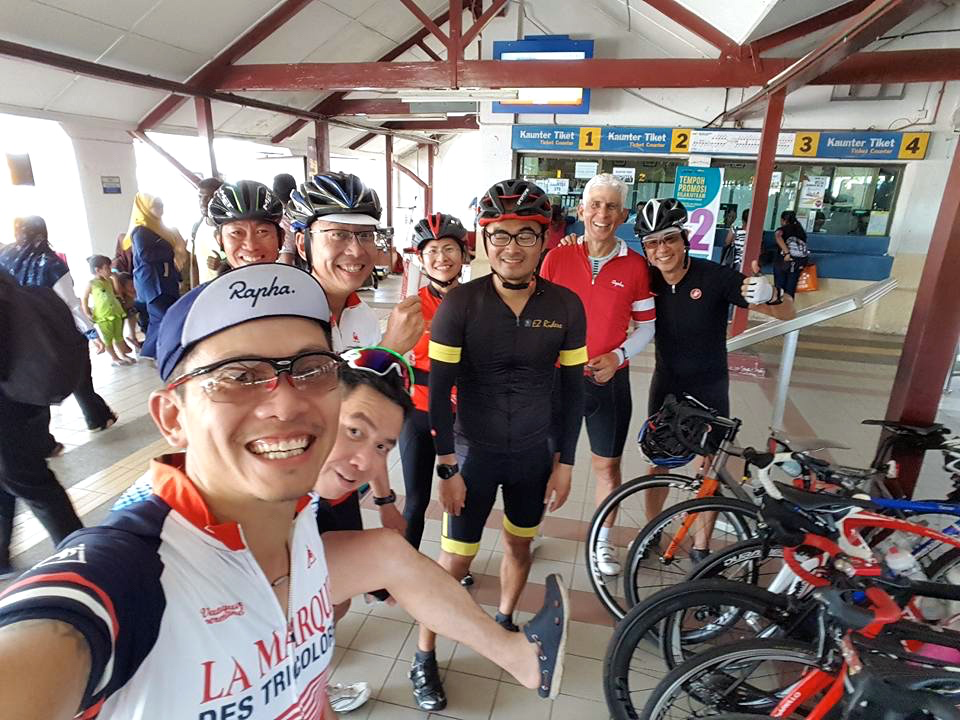
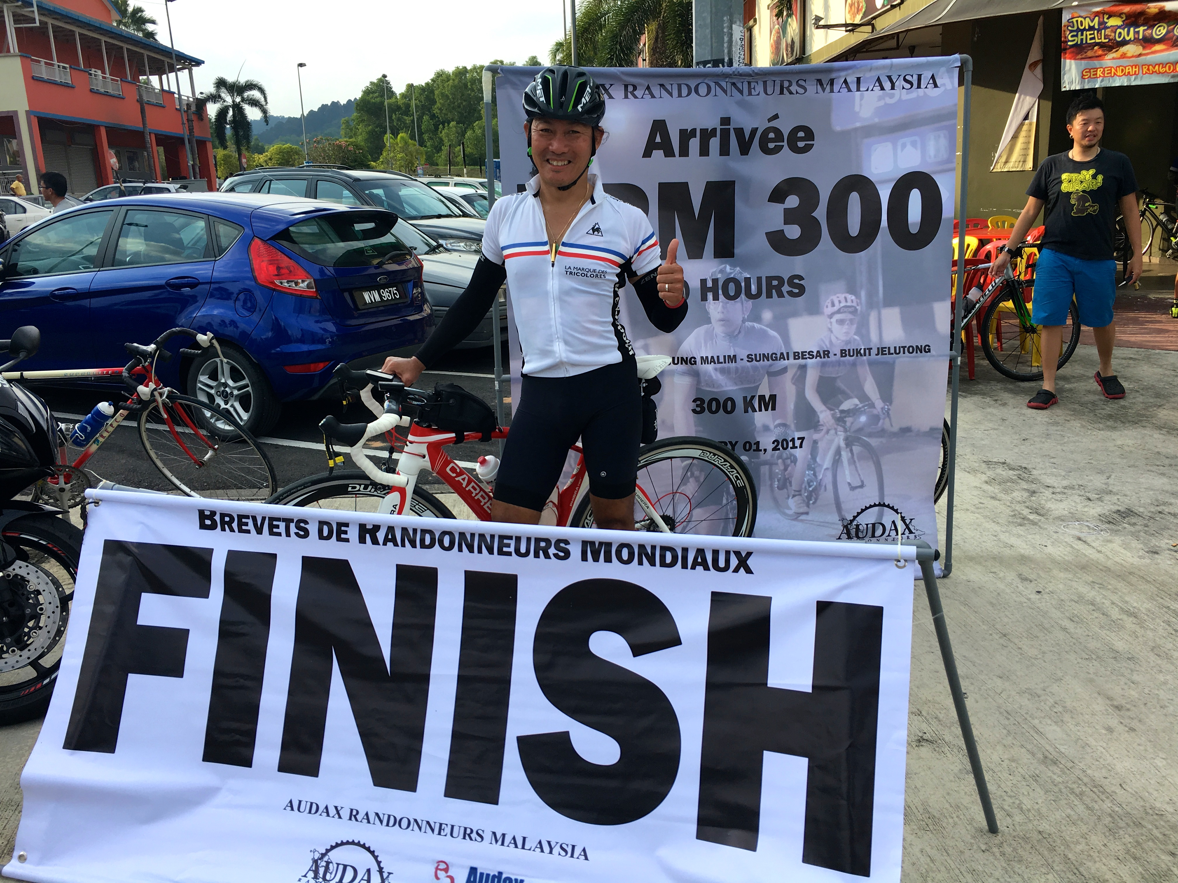
Lay and I made it over the seven humps of the Dragon’s Back and down the last kilometer of Jalan Sungai Buloh and Persiaran Gerbang Utama to the finish at Kafe An Nurs.  Which got us that last, all-important stamp on our brevet cards.

audax-brm300-brevet-card

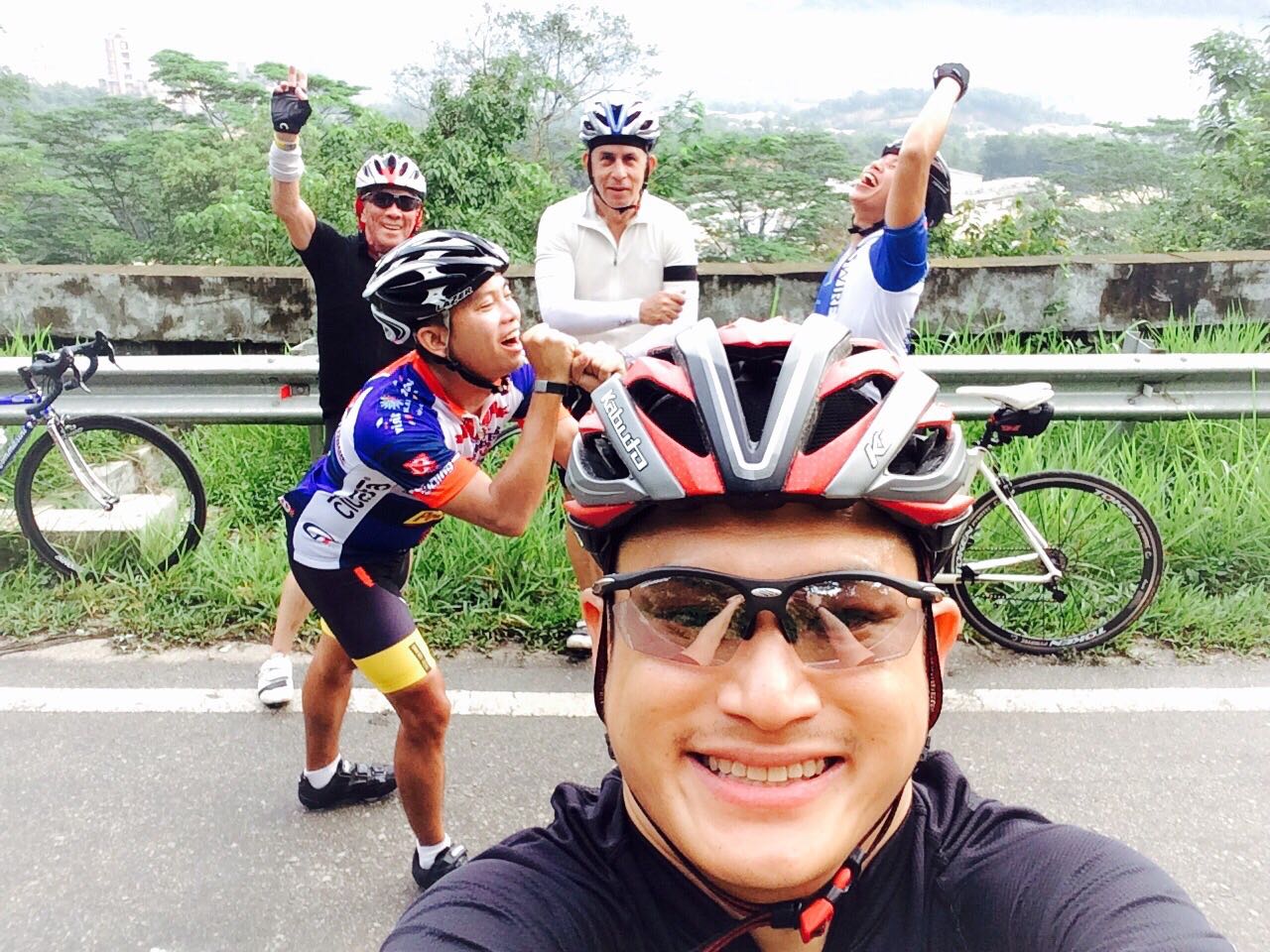
Then it was time for finish line photographs.

audax-brm300-lay-finish

Photograph courtesy of HC Lay

audax-brm300-johan-finish-lay

Photograph courtesy of HC Lay

audax-brm300-finish-farid-and-danial-danial

Photograph courtesy of Danial

Liang, Mark and Chon arrived safely at Bukit Jelutong too.  Which was the result we had all hoped for when we left Bukit Jelutong fifteen and a half hours earlier.  No punctures, no crashes, and not getting lost were bonuses.

audax-brm300-finish-1-marco-lai

Photograph courtesy of Marco Lai

Those rain clouds on the horizon?  By the early evening riders were getting doused.

audax-brm300-rain-mohd-radzi-jamaludin

Photograph courtesy of Mohd Radzi Jamaludin

By 7.30pm a storm hit the Shah Alam area, creating what one rider described as near typhoon conditions.  The combination of torrents of water, wind, and poor visibility forced some riders to walk up the climbs on Persiaran Mokhtar Dahari.  As far as I can tell, everyone who was out on the roads during that deluge made it to the finish without incident.

Congratulations to all finishers!

So despite the rain showers and storm, the BRM300 was a great success.  Due in no small part to the long hours and hard work put into organising this event by the committee members of Audax Randonneurs Malaysia.

Thank you very very much:

Sam Tow
Okay Jaykay
Chong Su
Ray Lee
Lee Lee K

audax-brm300-banner-lee-lee-k

Photograph courtesy of Lee Lee K

I hesitate to ask Biker Chick if she likes the colours of the 600km medal.

Food Hunt Ride I

Admittedly most of my Flipside group rides involve food.  We have a list of restaurants and coffee shops that are on regular rotation.

Last Saturday we tried somewhere new.  Mark (our expert food spotter) had noticed a particularly crowded restaurant during one of our previous rides through Rawang.  We decided that would be our breakfast stop that morning.

It was very misty as we rode along the Guthrie Corridor Expressway towards the Lagong Toll Plaza.

food-hunt-mist-marco

Photograph courtesy of Marco Lai

About 50km / 31mi into the ride we arrived at the red awnings of Restoran Teratak Nogori.

food-hunt-nasi-lemak-leslie

Photograph courtesy of Leslie Thong

Mark had been attracted by the sign advertising steamed nasi lemak.  The nasi lemak was as good as advertised.

food-hunt-nasi-lemak-01-marco

Photograph courtesy of Marco Lai

After we got back onto Jalan Rawang we took a little detour into the housing area bordering Templer Park.  The road is much quieter there, and the views are nice too.

food-hunt-templers-park-marco

Photograph courtesy of Marco Lai

Our route back from Templer Park into Kuala Lumpur took us toward the junction of Jalan Sentul and Jalan Tun Razak.  Right where our Bangsar Cycling Group buddy, Danial, has just revitalised the Born & Bread Cafe.

food-hunt-born-and-bread-cafe

We had to stop there for a coffee and some cake.

The mist of the morning had long burnt off, and it was hot when we left the cafe.

To get back to where we had started our ride, we had to cut through Taman Tun Dr Ismail, popularly known as TTDI.  Which happens to be the location of a good cendol stall.  Given the temperature, a cendol stop was called for.

food-hunt-cendol-01-marco

Photograph courtesy of Marco Lai

An excellent way to set us up for the last 15km / 9mi  of a 100km / 62mi ride.

A New Set of Hills

Kuala Lumpur sits within the Klang Valley.  It is bordered by the Titiwangsa Mountains in the east, several minor ranges in the north and the south, and the Malacca Straits in the west.

Which explains why so many of our weekend rides include climbing to a greater or lesser extent.  The only options for truly flat rides are along the KESAS Highway heading west from Subang toward Bandar Botanic and Morib, and northwest of Kundang through Ijok and Kuala Selangor.

KL Topo 2

Map courtesy of Google Maps

Leslie suggested a ride to Hulu Yam, which is due north of Kuala Lumpur.  If I had thought about it I would have realised that the odds were that this new route (to me anyway) features some climbs.  Boy, does it ever feature some climbs.

Ten of us started the ride by meandering from Mont Kiara through Segambut and Sentul to avoid the roads closed to accommodate the Standard Chartered KL Marathon.  We left the city limits at Batu Caves.  Just after the right turn off Jalan Sungai Tua onto Jalan Hulu Yam Baru – Batu Caves, Leslie said “Here’s where the fun begins!”

‘Fun’ translated into an initial climb of 1km with 92 meters / 302 feet of climbing, followed by 4km / 2.5mi of rolling terrain before a 6km / 3.7mi drag up 275 meters / 902 feet of elevation.  Fun indeed – not!!

Hulu Yam Climbs

Graphic courtesy of veloviewer

We stopped to catch our breath by the reservoir behind the Batu Dam.

Hulu Yam Dam Stop Leslie

Photograph courtesy of Leslie

And again at the top of the looong climb.  The usual suspects are here (after we had recovered, I hasten to add), plus Lay on the right.

Hulu Yam 1 Mark

Photograph courtesy of Mark

After speeding down the descent to Hulu Yam Bharu, we raided a 99 Speedmart for drinks and snacks before turning left onto Federal Route 1 toward Rawang.  Federal Route 1 is the oldest and longest road on the Malaysia’s national road network.

We regrouped on the outskirts of Rawang.  It was almost 11am, which translates into hot.  A roadside stall selling fresh fruit juice was a perfect place to stop.

Hulu Yam Juice Marco

Photograph courtesy of Marco

Then it was into Rawang for the main attraction of the day.  Lunch.  It took a while to find, but Leslie was persistent.  This restaurant has been featured in many a food blog and television show.

Hulu Yam Fish Wantan mee stall Marco

Photograph courtesy of Marco

The speciality of the house is tilapia with wan tan noodles.  There are six variations to choose from:

  • Golden mushroom – steamed with enoki, garlic and ginger
  • Bean sauce – deep fried in brown bean sauce
  • Deep fried – deep fried in soy sauce and birdseye chili
  • Classic – steamed with soya sauce & oil, with plenty of fried garlic
  • Curry – steamed
  • Tomyam – steamed

All but one of us ordered the deep fried in soy sauce version, many with an extra portion of wan tan noodles.  The other order was the Classic style.

Hulu Yam Fish Wantan mee Mark

Photograph courtesy of Mark

When we were done eating, there was nothing left on anyone’s plate.  Even the deep-fried fish bones were crunchy enough to eat.  Definitely worth the visit.

We had about 30km / 18.8mi left to ride.  We skirted around the east side of Bukit Lagong, a 528 meter / 1,731 foot lump between Rawang and Batu Caves.  Jalan Rawang follows a valley, but nonetheless has a 2.3km / 1.4mi section near the Templer Forest Park that entails 96 meters / 315 feet of climbing.

Marco, Lay and I started down the descent in pursuit of Mark and Henry ahead of us.  We had lost sight of them.  I shot past this exit at 70kph / 43.5mph, followed by March and Henry.  We should have left Jalan Rawang here, where the road transitioned into Jalan Kuching.

Hulu Yam Jalan Bidara

Photograph courtesy of Google Maps

Instead, we rode some 6km / 3.7mi further down the road before we came to the realisation that Henry and Mark were no longer ahead of us.

Not knowing any other way to get back to Mont Kiara, the three of us dodged and weaved our way through very heavy traffic along Jalan Kuching for 7km / 4.3mi, until we could exit at the Segambut roundabout.  I don’t want to repeat that experience again.

Hulu Yam Jalan Kuching

Photograph courtesy of Google Maps

All’s well that ends well though.  Everyone made it safely back to where we had started from.

I think I’ll put the Hulu Yam climbs in the “Been there, done that” category.  At least until I forget the details.  Like Leslie claims to have done before he invited us all on this ride.

Mountains


Rapha Festive 500

Festive 500

I have not covered many kilometers in 2014.  Thanks in no small part to my extended time off the bicycle.  Both self-inflicted and health-inflicted.

My total mileage on 12th October 2014 was the lowest it has ever been on that date in the five years I have been cycling.  That was the day of my first ride in almost four months.  I rode as much as I could, and then had another month of no rides from 23rd November.  Rain and weekend travel are to blame.

Total Distance

Graph courtesy of VeloViewer

So the Rapha Festive 500 came at the perfect time to motivate me to add to my total kilometers ridden in 2014.  The challenge is to ride 500 kms between the 24th and 31st of December.

Rapha has partnered with Strava to keep track of riders’ mileage.  No small undertaking, seeing as 46,360 cyclists are currently in the challenge.

Strava is doing a great job of displaying every participant’s current mileage, and rank overall, by country, by age and by weight.  Strava is also providing additional motivation by presenting riders with ‘achievements’ as they meet interim targets.

125250375

I got the final one today.

500

I have ridden every day since Christmas Eve.  I am putting my vacation time to good use.

Heatmap courtesy of Strava

Heatmap courtesy of Strava

514kms over six days.  Mostly over the usual routes:  Genting Sempah (2), KESAS (3) and (6), and the Guthrie Corridor Expressway (4).

There were a couple of forays into new territory, starting with the first Festive 500 ride on Christmas Eve (1).  Keat, Mark, Marco, Fahmi and I started with a ride to a favourite nasi lemak stop in Kampung Cempedak.  But instead of following breakfast with a ride through Kampung Melayu Seri Kundang, we followed a back road toward Rawang.  Here we are, happy to be at the summit of the climb along Jalan Ciku.

Photograph courtesy of Marco

Photograph courtesy of Marco

The ride that took me over the 500kms target was an entirely new one.  I drove my biker chick to the airport, then parked and pulled my bike out of the car.  It was raining quite hard, but that didn’t stop me from riding alongside runway 2, and the new runway 3 serving KLIA 2, watching aircraft come and go in a cloud of spray.

AA

I didn’t want to continue onto the highway serving the airports, so I doubled back along runway 3 and went to Sepang.  I had fun, but would have enjoyed it more if it hadn’t been raining the entire time.

LCCT Map

Weather permitting, I might get to 600kms by New Year’s Eve.  A relatively large total by my current standards, but paltry in comparison with 1,644kms already ridden by the person leading the Festive 500.  He has cycled almost 14,500kms in 2014.  He must be very fit.  And not have a full-time job.