There were two organised rides scheduled in Penang on 8th September.
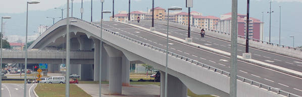
One was the first ever ride across the Penang Second Bridge, from Batu Kawan on the mainland to Penang island and back again. This bridge is in the final stages of construction and is not yet open to traffic. It will be the longest bridge in Southeast Asia. The other was the 5th Campaign For A Lane (CFAL) ride around the island of Penang.
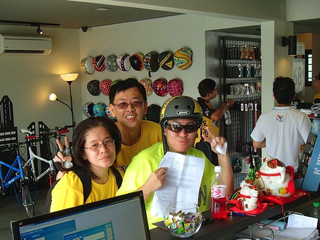
My Racun Cycling Gang buddies did the CFAL ride last year. So we signed up for the bridge ride. A bus was chartered and accommodation booked. Only for the bridge ride to be postponed at the very last minute.
Hello CFAL!

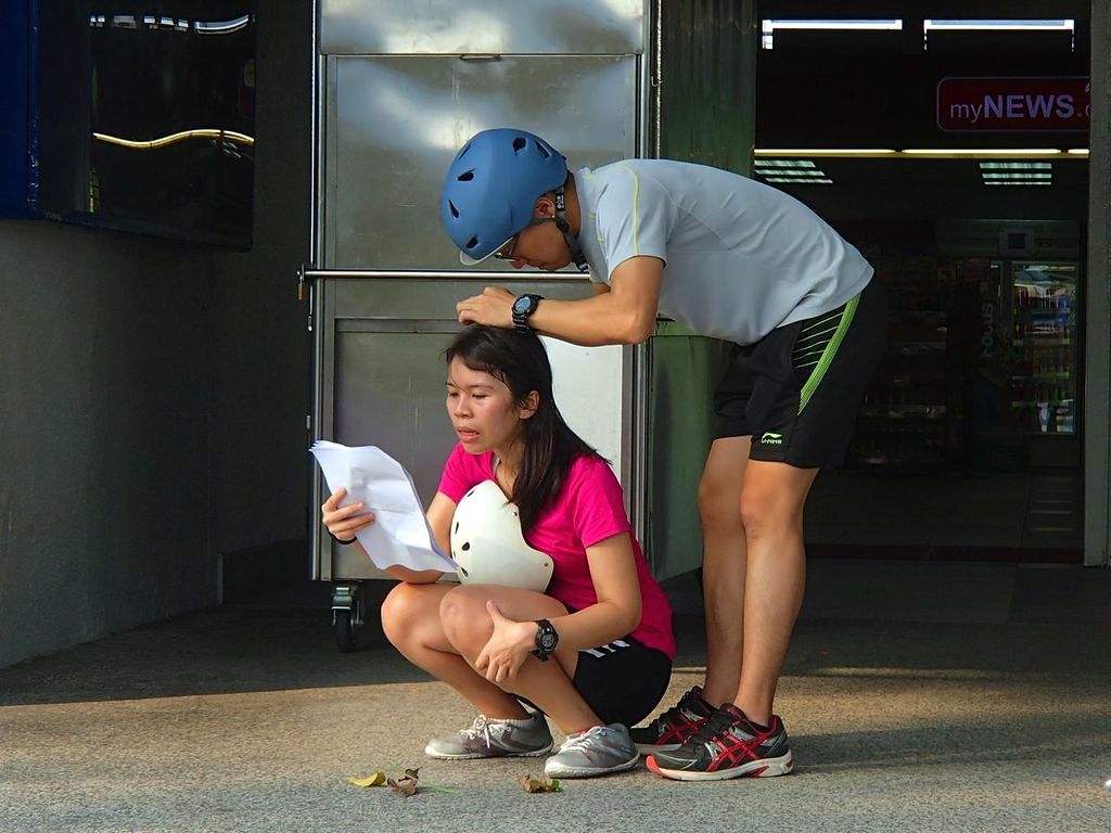
Registration for the CFAL ride had long closed. Not a problem. We would be ghost riders. The term for unofficial participants in an event.
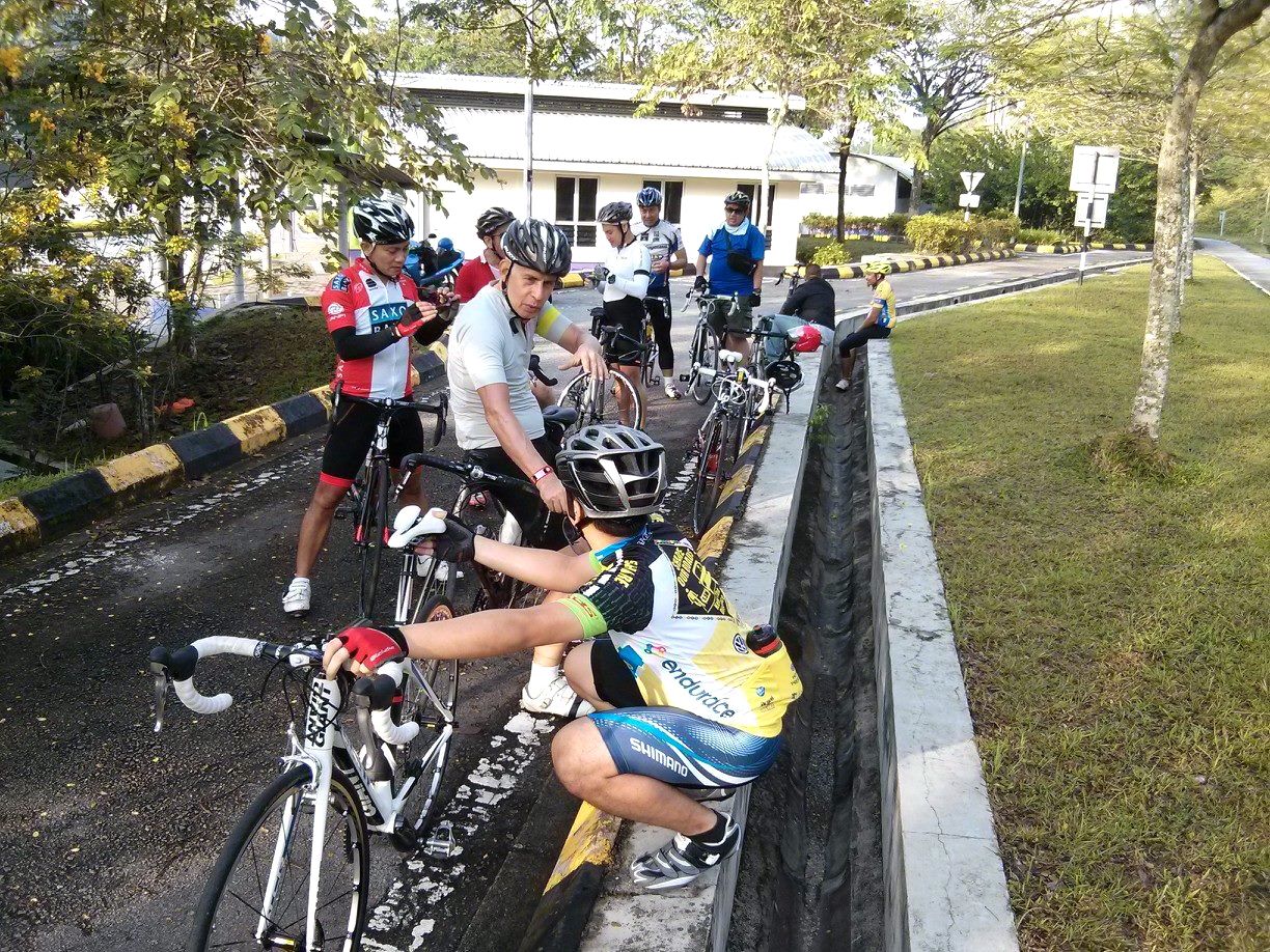
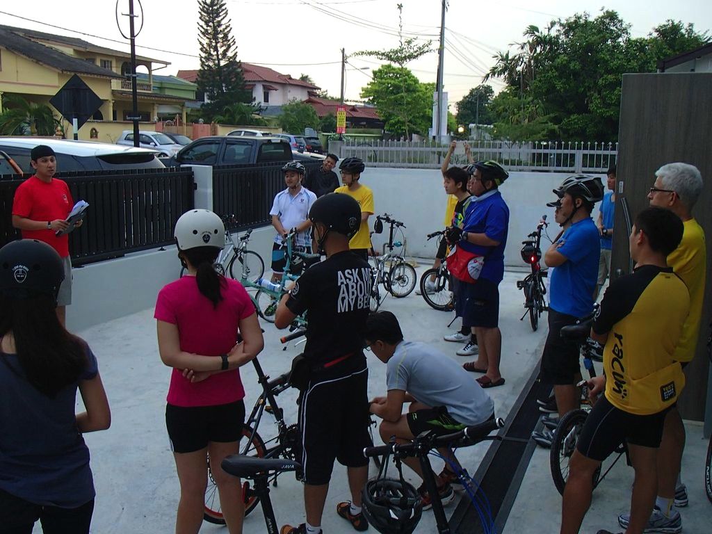
The bus rolled to Penang on Saturday as planned.

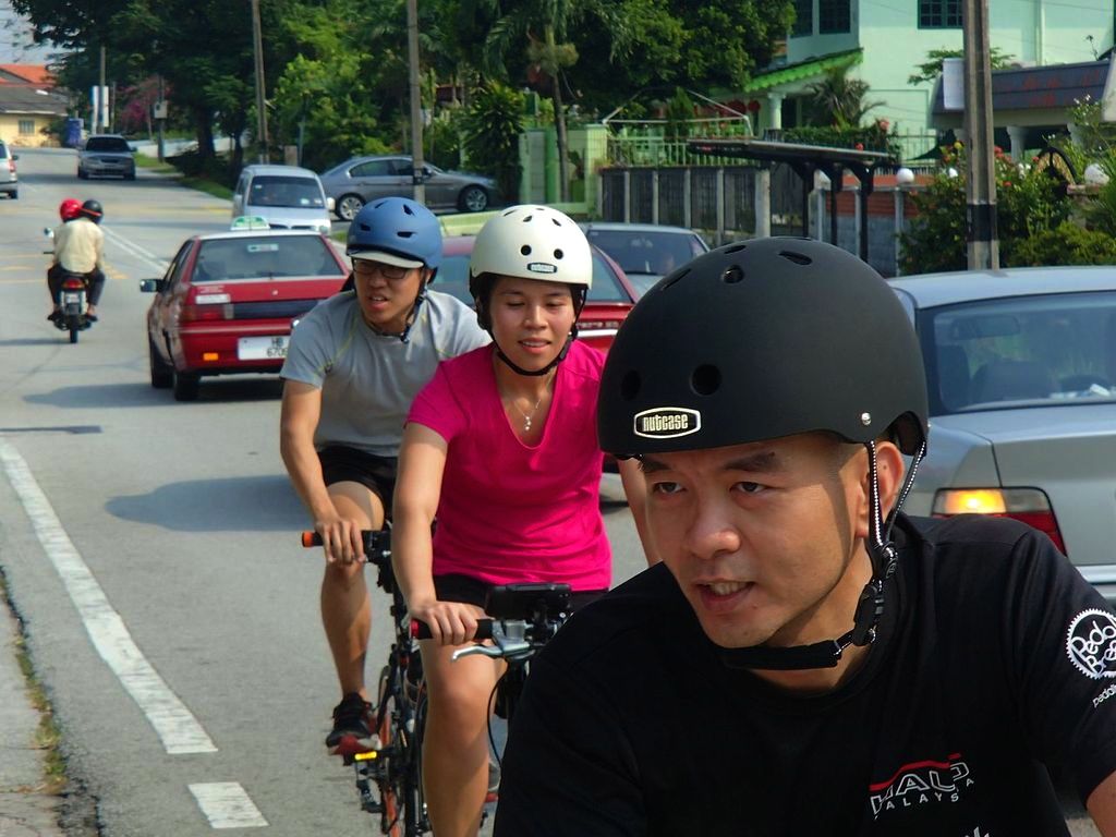
Photo courtesy of Marco Lai
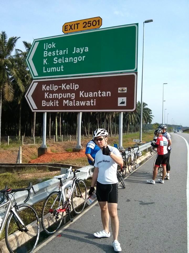
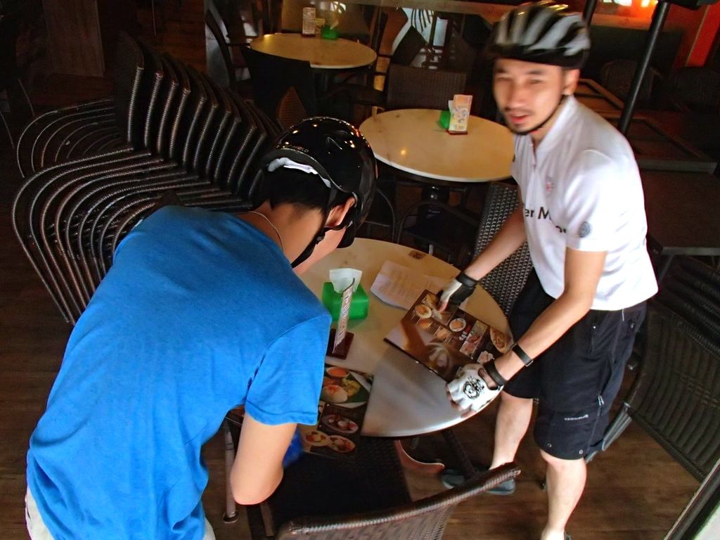
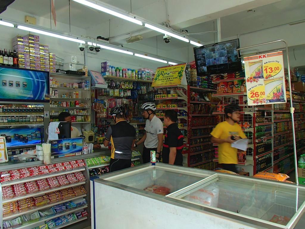
Penang is touted by some as having the best street food in Malaysia. So Saturday was spent cycling from one food venue to another.

Photo courtesy of Debrizio Wong
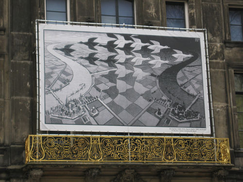
The Campaign For A Lane has been a success in Penang. These symbols,

and dedicated bike lanes, have popped up all around the city.

Photo courtesy of Christopher Chin
The first CFAL ride in 2009 drew 750 cyclists. Registration for the 2013 edition was cut off at 3,000 cyclists. A total no doubt exceeded thanks to us ghosts in the peloton.
The ride started promptly at 7.00am from the Esplanade Park. The start line was at the Penang Town Hall.

The clock-wise route circumnavigated the island.
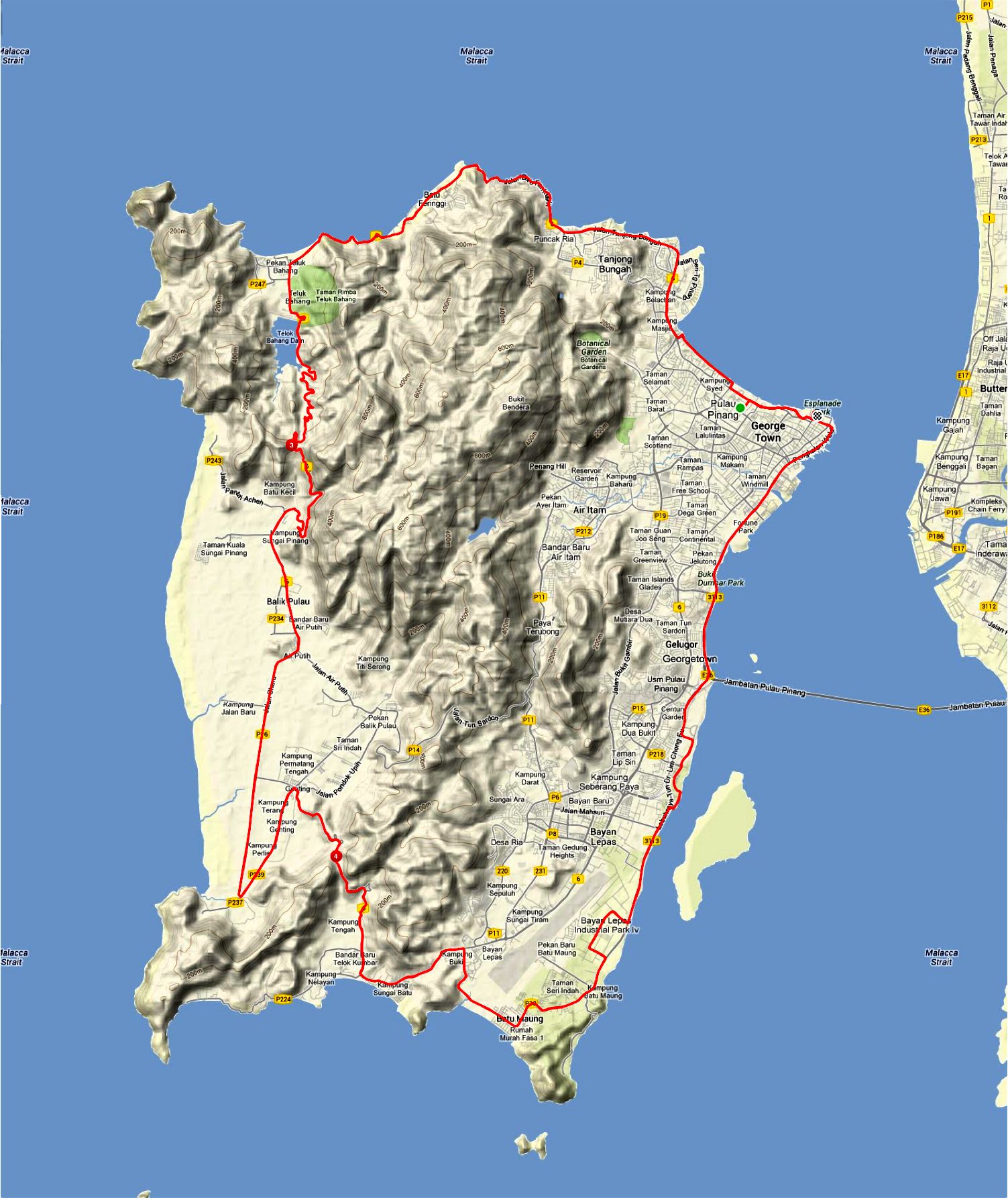
10 km into the ride we caught sight of the first Penang Bridge, opened in 1985.

Those clouds were a warning. A further 10 km down the Lim Chong Eu Highway the clouds became ominous.
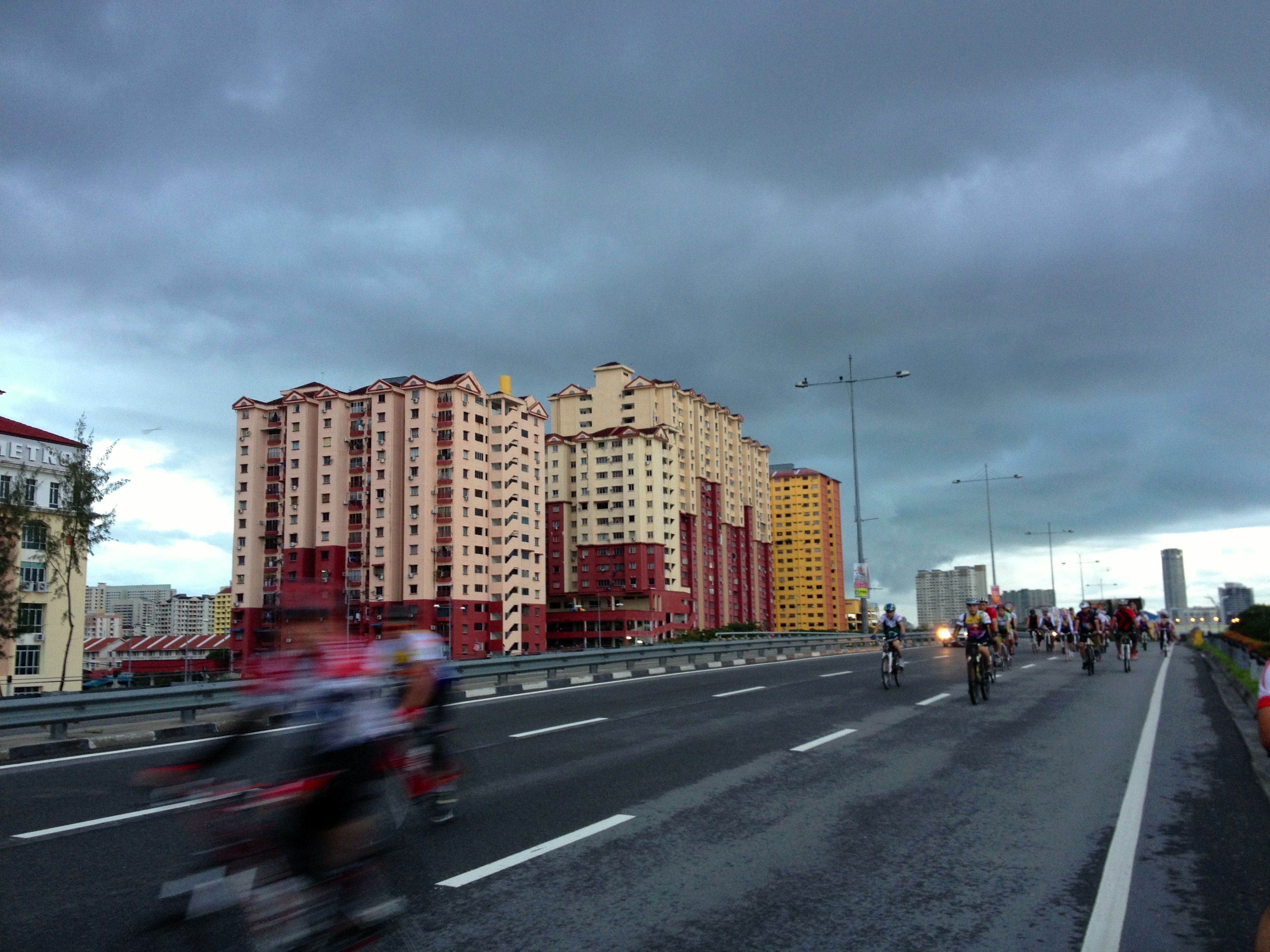
We got rained on. A lot and for most of the remainder of the ride. The big plus for me was that the rain kept the day fairly cool. I had no issues with hyperthermia on this ride.
Penang looks flat but there were two substantial lumps to get over. The first was at the south end of the island where the route turned north through Kampung Tengah. We went from sea level to about 140 meters / 460 feet.
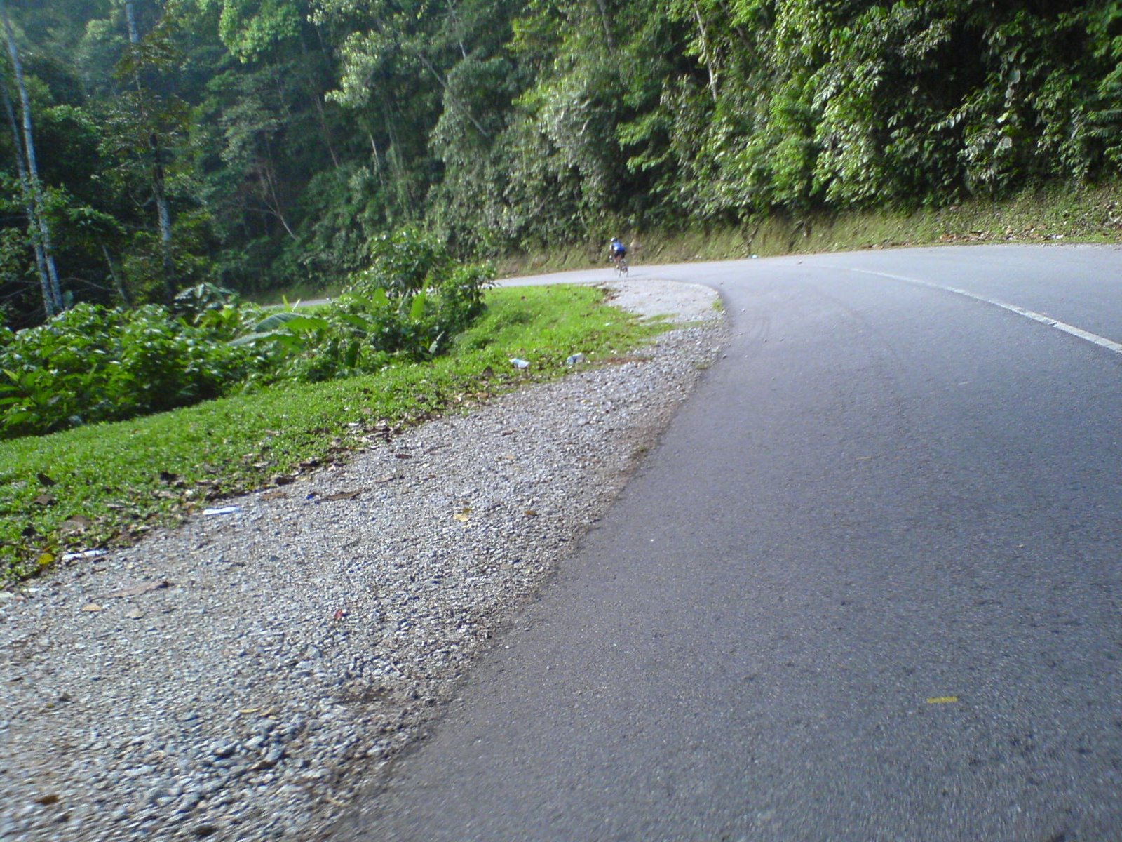
The bigger lump was the approach to the Teluk Bahang Dam in the north-west corner of the island. That climb topped out at about 225 meters / 740 feet. The payoff was views like this.

Photo courtesy of Mark Lim
The wet road meant that this descent had to be negotiated with care. The turns were especially tight in places.
There were a few more short and sharp climbs to get over as the road made its way along the coast through Batu Feringgi and Tanjong Bungah at the northern tip of the island. Then it was past the beachfront hotels and malls along Persiaran Gurney to the finish at the Esplanade Park.

We were starving ghosts by the end of 82 km ride. Albeit for only as long as it took to get to a restaurant!
I wonder how many of us weighed more when we arrived back in Kuala Lumpur on Sunday evening than we did when we left KL on Saturday morning.