Sunday’s R@SKLs ride was one of our standard routes. From D’Bayu in Bukit Jelutong to Rawang via the Guthrie Corridor Expressway (GCE) and the Kuala Lumpur – Kuala Selangor Expressway (LATAR). Breakfast in Rawang, and then back to Bukit Jelutong.
We had a wet start to the ride.
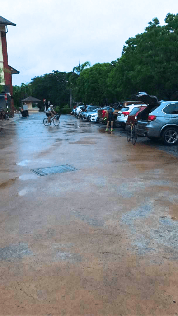
Photograph courtesy of Eugene Lee
By the time we got to Denai Alam, 8km / 5mi away, it was bone dry. Hooray.
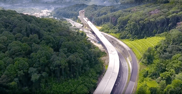
As we approached Rawang on LATAR, we could see the elevated section of the Rawang Bypass in front of us.

Photograph courtesy of SkyscraperCity
The Rawang Bypass, when open, will divert traffic travelling on Federal Route 1, between Kuala Lumpur and Serendah, away from Rawang. This will ease congestion on Jalan Rawang. It is a much-delayed project, construction having started in early 2009.
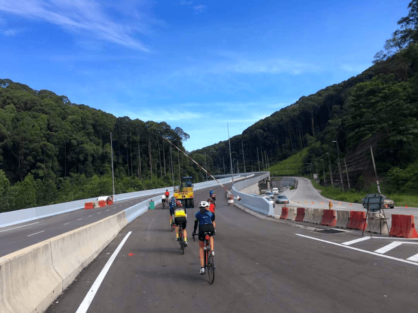
Photograph courtesy of Nazrey
Friends have posted photographs of their recent rides on the bypass. The roadway is complete, and just the finishing touches remain before the bypass is finally opened to traffic. And therefore closed to bicycles.
Over breakfast we debated riding the length of the bypass. None of us had ridden it before. We were all up for an adventure.
Getting to the bypass required crossing two lanes of Jalan Rawang. Fortunately Jalan Rawang is not very busy on Sunday mornings. The direction we came from meant that we had to ride up the wrong side of the roadway.
The construction crew didn’t bat an eye as we rode under the barrier and onto the bypass.
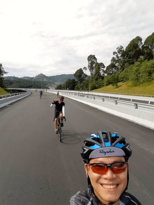
Photograph courtesy of Johan Sopiee
The high point of the elevated section of the bypass is 65 meters / 213 feet above the ground. It has to the clear the exit ramp, which is itself elevated, which connects LATAR to the KL-bound lanes of Jalan Rawang. and it has to pass over the Kancing forest reserve, minimizing disturbance to the green area below.
So we headed upwards.
Photograph courtesy of Mark Lim
And upwards. For about 4km / 2.5mi. The views are very nice, and the gradient is challenging but not excessive.

Photograph courtesy of Johan Sopiee
We were happy to get to the highest point of the elevated section.

Photograph courtesy of Kevin Chin
We had the road all to ourselves, so . . .

Photograph courtesy of Lee Heng Keng

Photograph courtesy of Lee Heng Keng
It turned out well to be on the wrong side of the road at first, because there were a lot of workmen and equipment on the other side of the road.
Just after the elevated section the road was closed off. There were workmen paving the lanes in front of us. Fortunately there was a break in the concrete central divider, so we could cross onto the correct side of the road.
There was another short climb, and then a high-speed descent to the end of the bypass at Sungai Choh. Everyone made it back to Federal Route 1 without incident, except for one puncture.

Photograph courtesy of Lee Heng Keng
It was worth being adventurous. We all enjoyed riding the Rawang Bypass.
I propose that the R@SKLs, in the words of Steely Dan . . .

Hello there, thanks for the writeup. Would like to know if u would be able to share the strava GPX file for this route… also would like to know, if u have any idea if we can bicycle on GCE late evenings/night. thanks in advance.
Hello Shanmugam. I will send you the GPX file for this ride in the next few days. I am travelling at the moment.
My friends and I ride quite alot on the GCE in the early mornings. We get to the GCE at about 6.00am, while it is still dark. The motorcycle lans is very quiet at that time. You need a head light. The GCE is lit at intersections only.
You shouldn’t have a problem riding in the late evenings and at night. There might be some motorcycle traffic in the late evenings.
Be sure to ride in a group. No point asking for trouble by riding alone in the dark.
Pingback: My R@SKL History Part 2 | Old Roots, New Routes