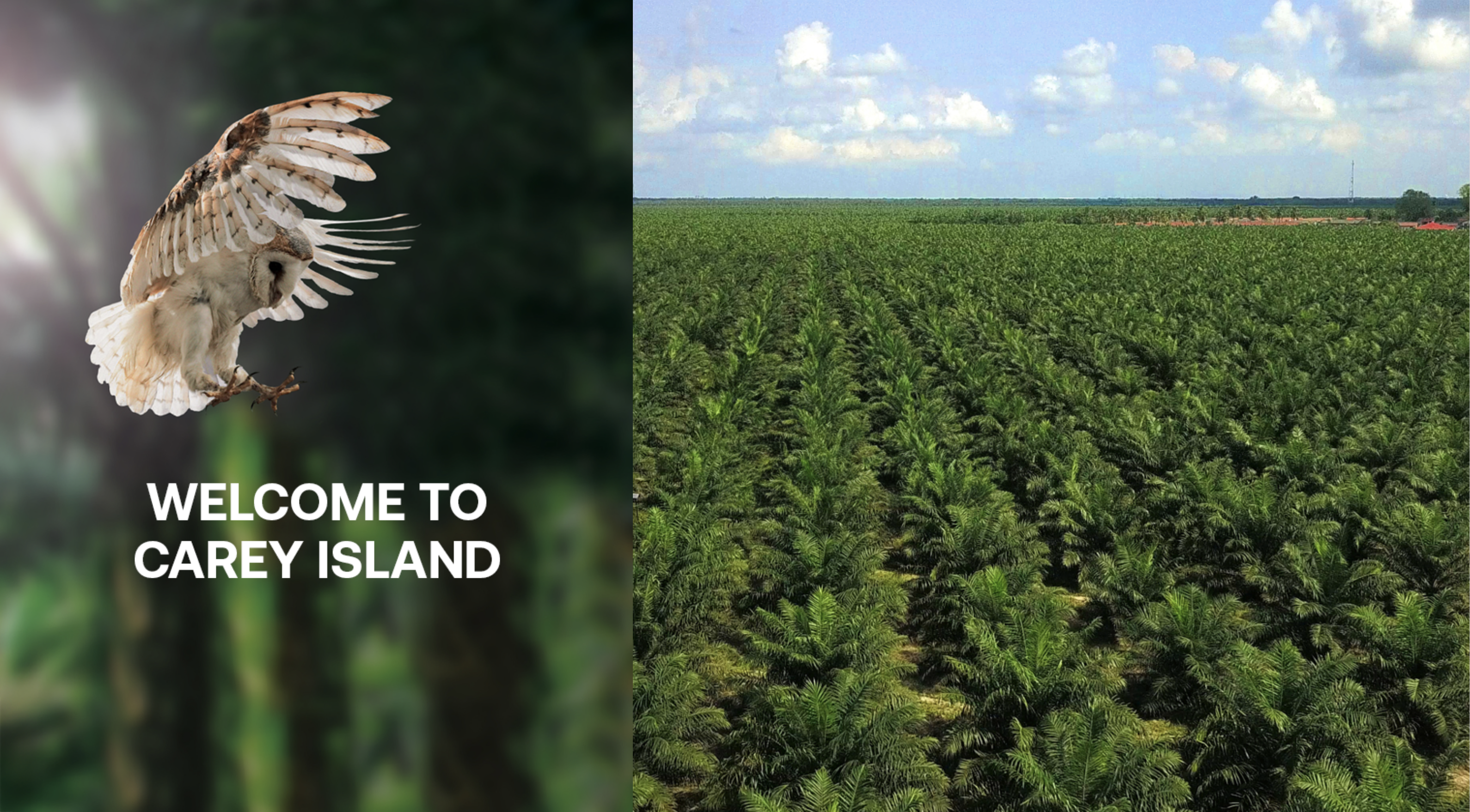
It was a four-day weekend, and my Biker Chick suggested we spend three nights on Carey Island. Carey Island is a 154 km2 landmass separated from the Selangor coast by the Langat River. The island is named after Edward Valentine John Carey, who purchased it in the early 1900s to establish a rubber plantation.
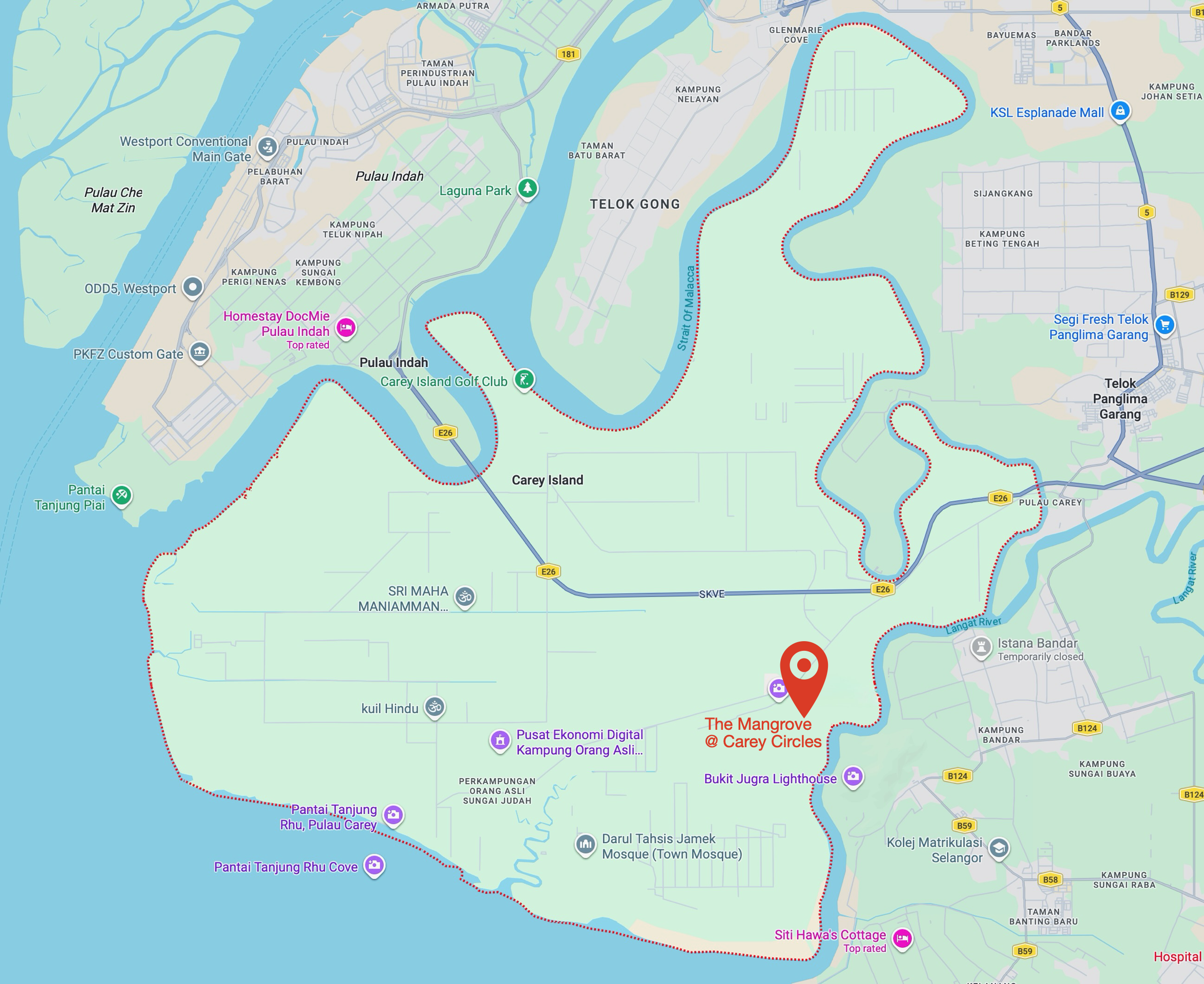
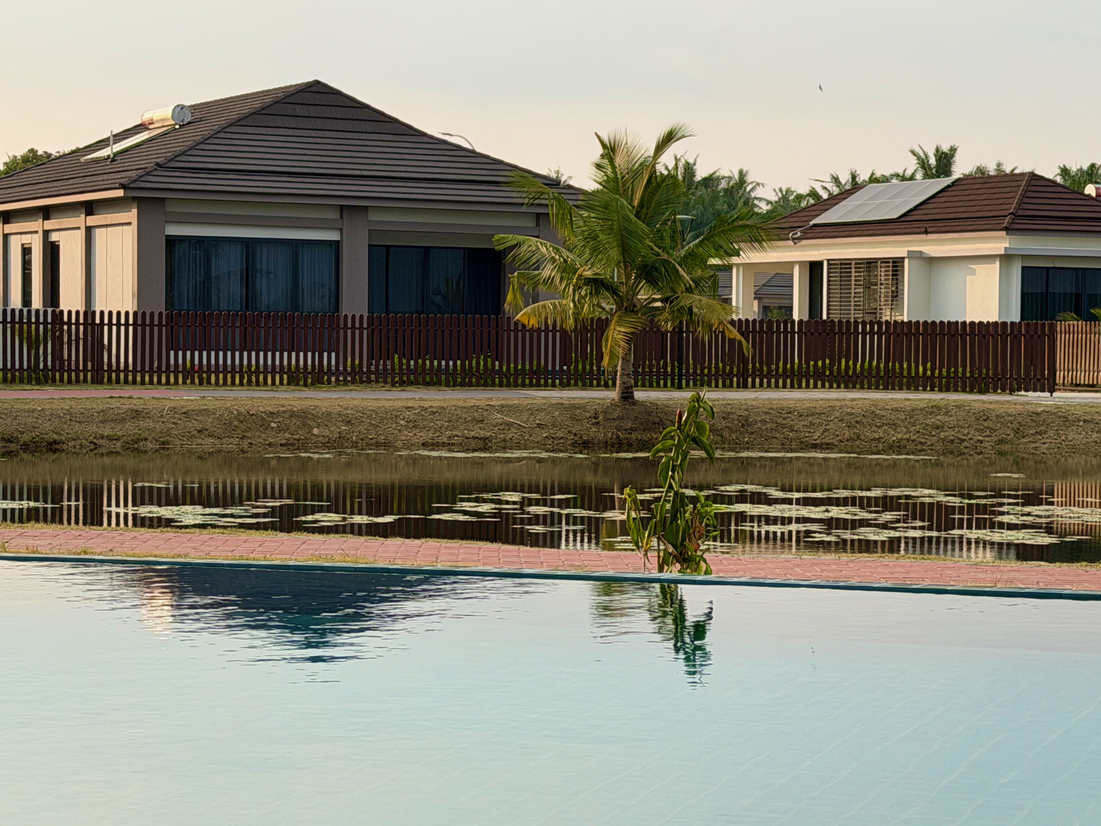
The only accommodation I knew of was the Amverton Cove Golf & Island Resort, but that wasn’t what my Biker Chick had in mind. She suggested we stay at The Mangrove at Carey Circles, a collection of private villas, a clubhouse and a spa that opened in June 2025.
We stayed in a single-room luxury villa. Some of the larger villas among the 56 on the property come with private swimming pools. Since we’re not keen swimmers, we were happy to use the clubhouse’s infinity pool whenever we wanted a dip.
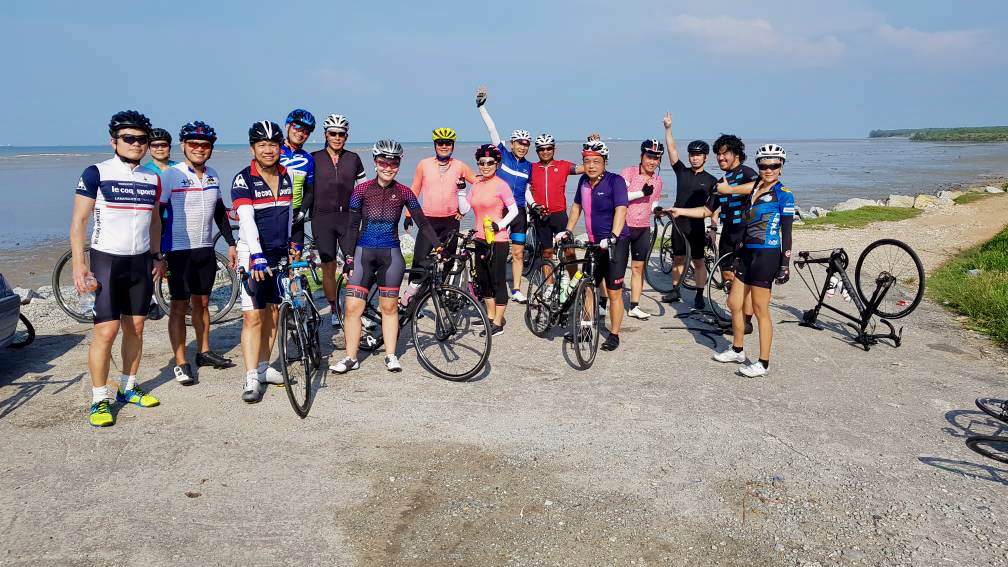
I brought my bicycle along. Carey Island was an occasional destination for the R@SKLs back in the day, and I was keen to revisit the quiet roads running through the oil palm plantations that replaced the rubber trees in the 1960s and 1970s.
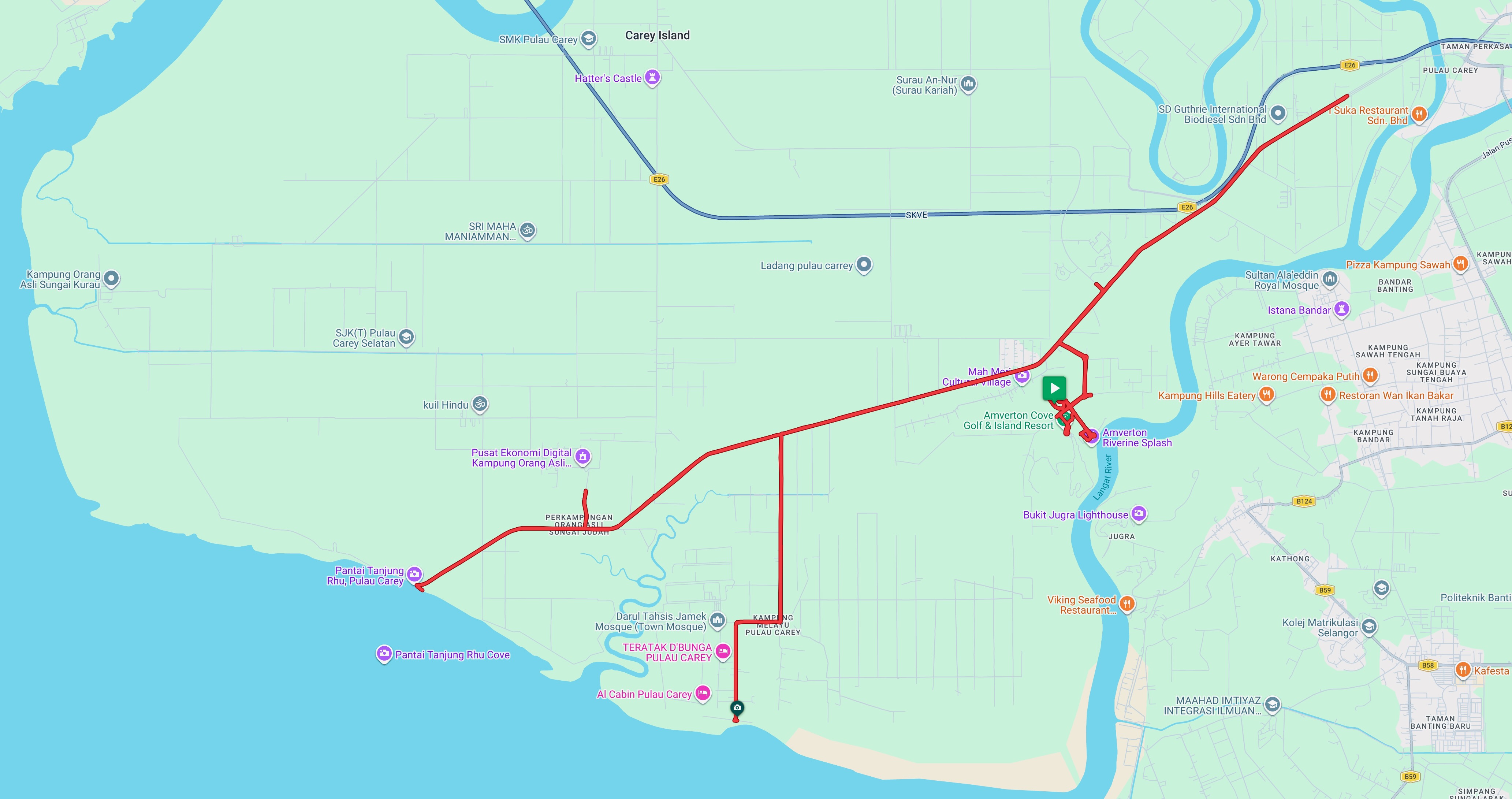
The last time I rode on Carey Island was in June 2019. That ride included breakfast at the Amverton Cove Golf and Island Resort, which has since expanded to include the Riverine Hotel and Suites and the Carey Circles development.
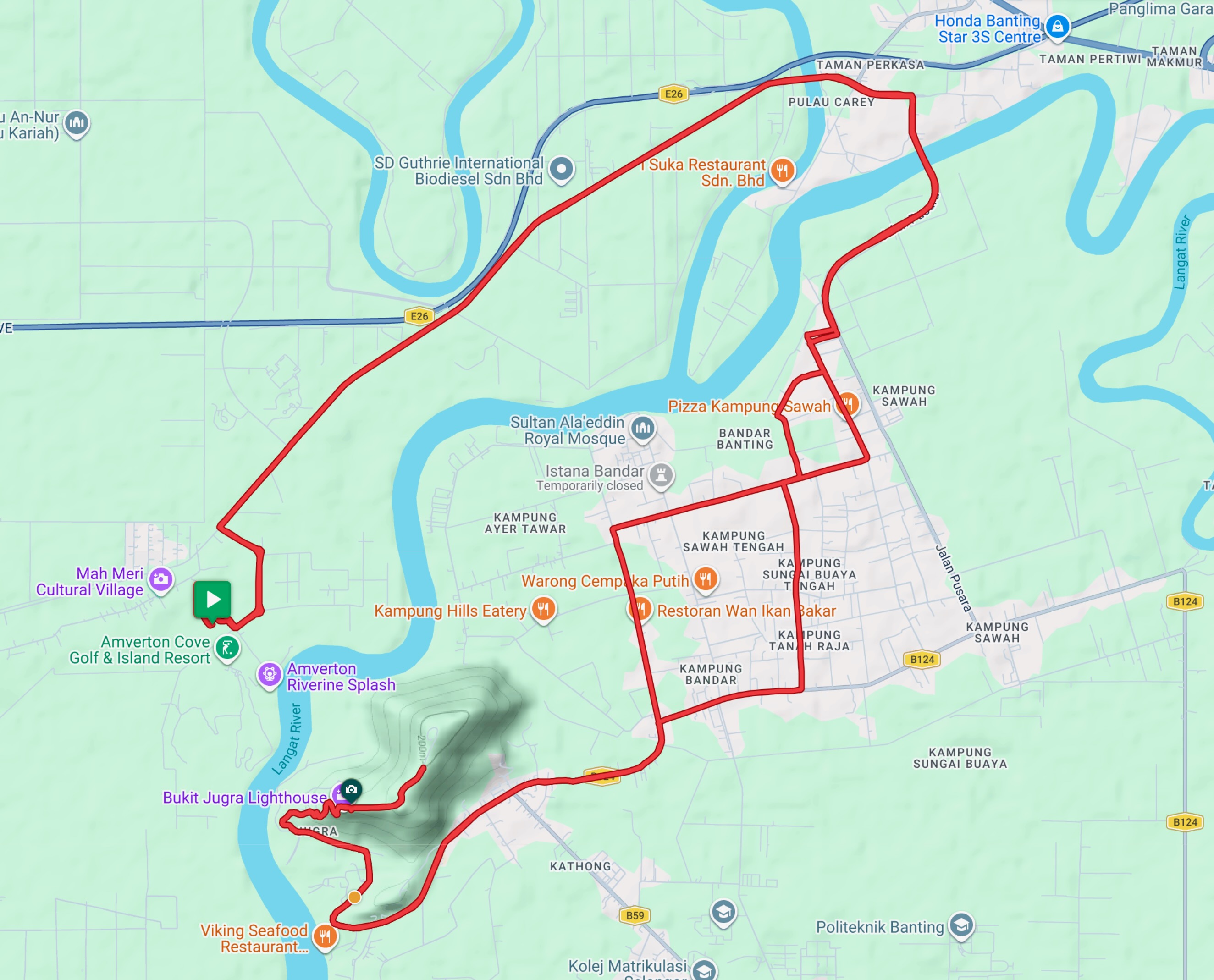
There are now a few more roads within the Amverton Cove and Carey Circles areas, but the ones I cycled in 2019 are still the main routes available today. Jalan Pulau Carey, which crosses the island from east to south-west, and Jalan A9 off Jalan Pulau Carey, along with the roads running through Kampung Melayu, due south.
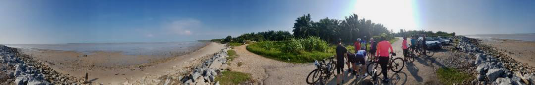
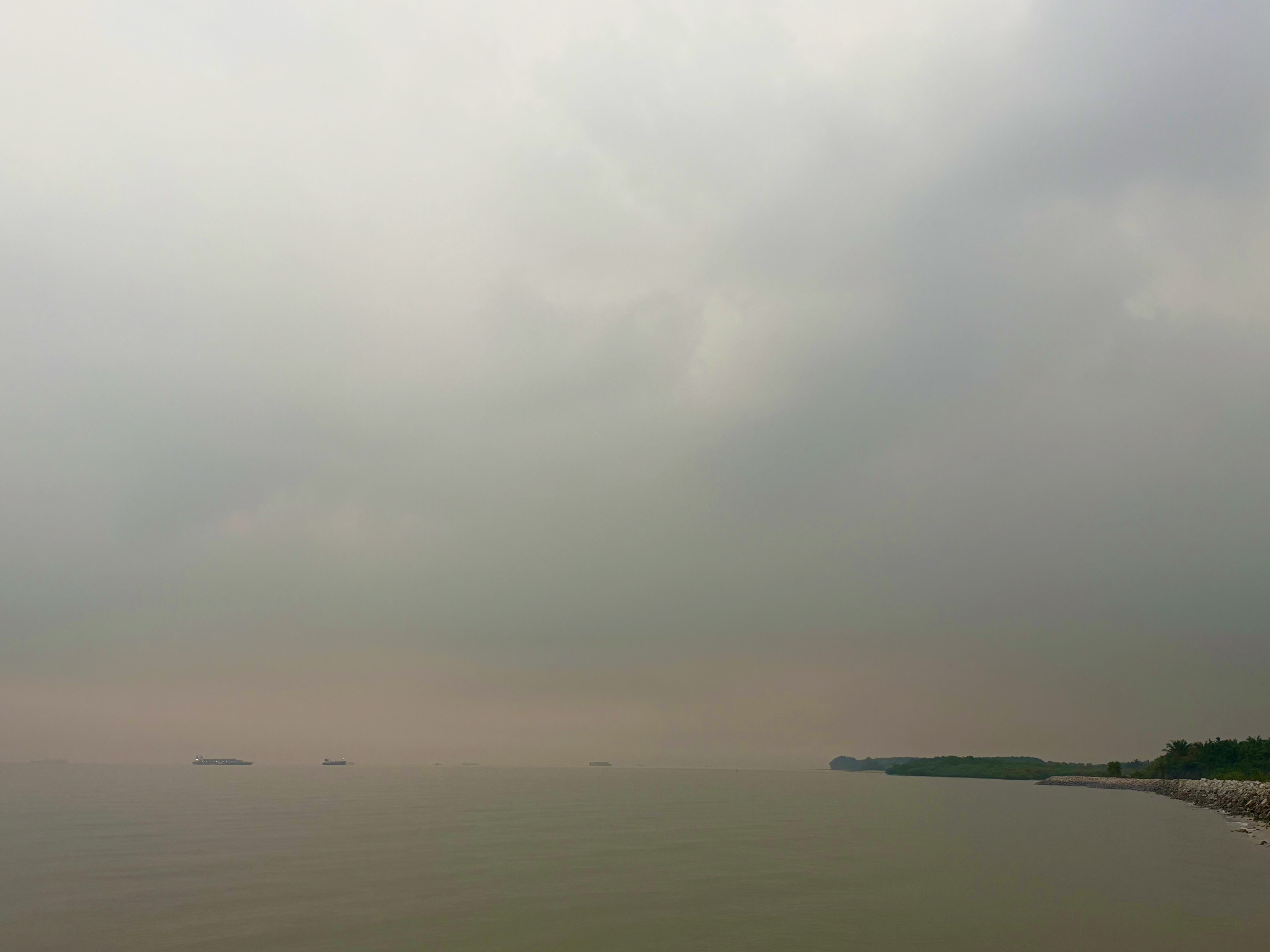
This was the misty early-morning view from the southwestern end of Jalan Pulau Carey at Pantai Tanjung Rhu. In the distance were several vessels waiting to dock at Westport.
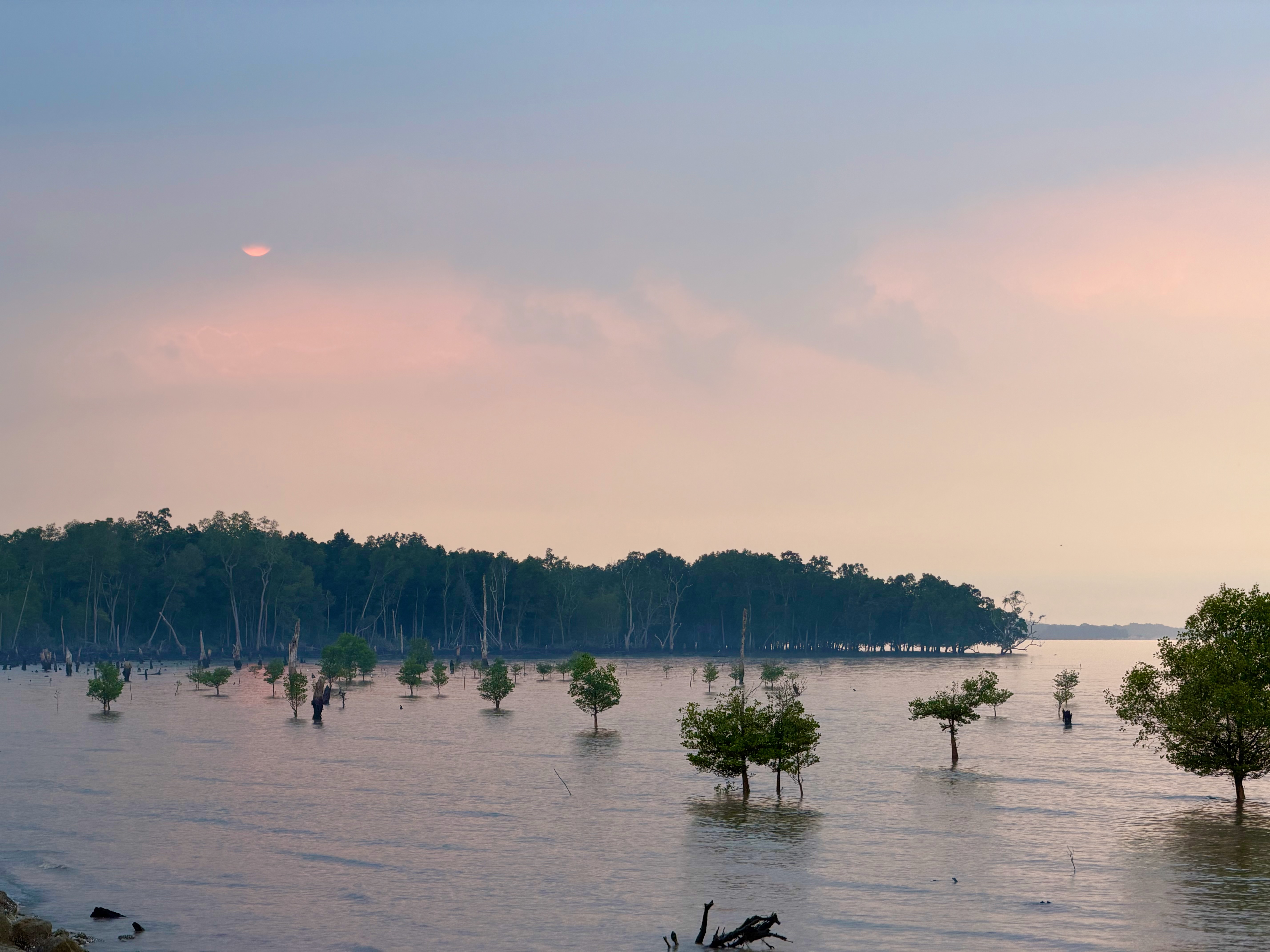
This was the slightly later and less misty view looking south from the end of Jalan Semarak. It’s always more attractive during high tide.
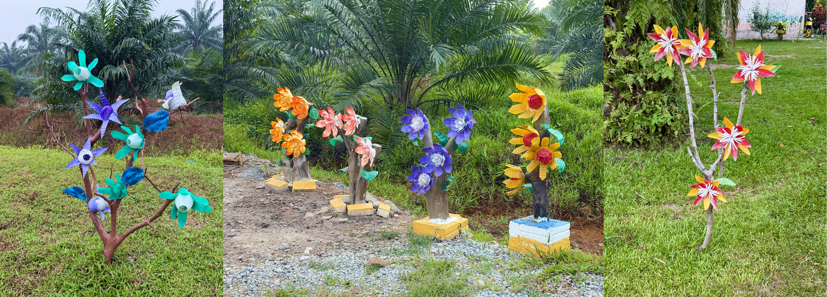
I also set out along one of the few roads on the island that appear in Google Street View. This road leads toward Kampung Sungai Judah, and like some of the other roads branching off Jalan Pulau Carey, its junction was marked by artificial flowers.
I didn’t get very far. A pack of dogs ahead of me seemed a little too interested as I approached, so I decided not to take any chances and turned back. There are a lot more dogs on the island now than I remember from the last time I rode here. Fortunately, the ones scattered along Jalan Pulau Carey paid no attention to me as I cycled past.
Another option is to ride to the Jugra Lighthouse, which is visible from Carey Circles.
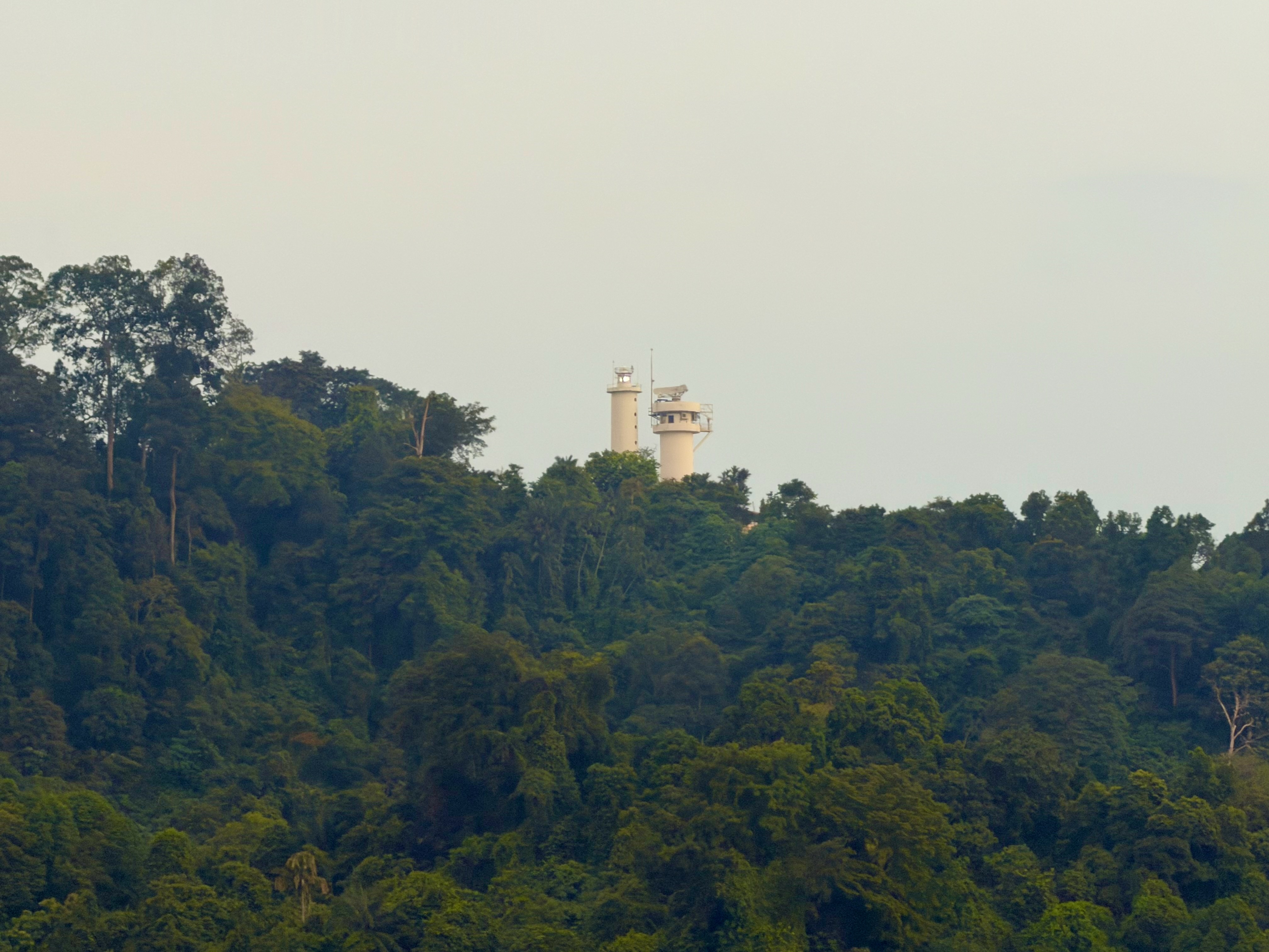
The last time I rode up to the Jugra Lighthouse was in July 2017. I had forgotten how steep that climb is. It’s 1 km from the junction at Jalan Bukit Jugra to the lighthouse, with an average grade of 11% and a maximum of 15.6%. Those switchback corners were very hard work.
After catching my breath at the lighthouse, I joined the crowds walking up the hill and pedalled another 800 metres to the locked gate at the RMAF Bukit Jugra training base.
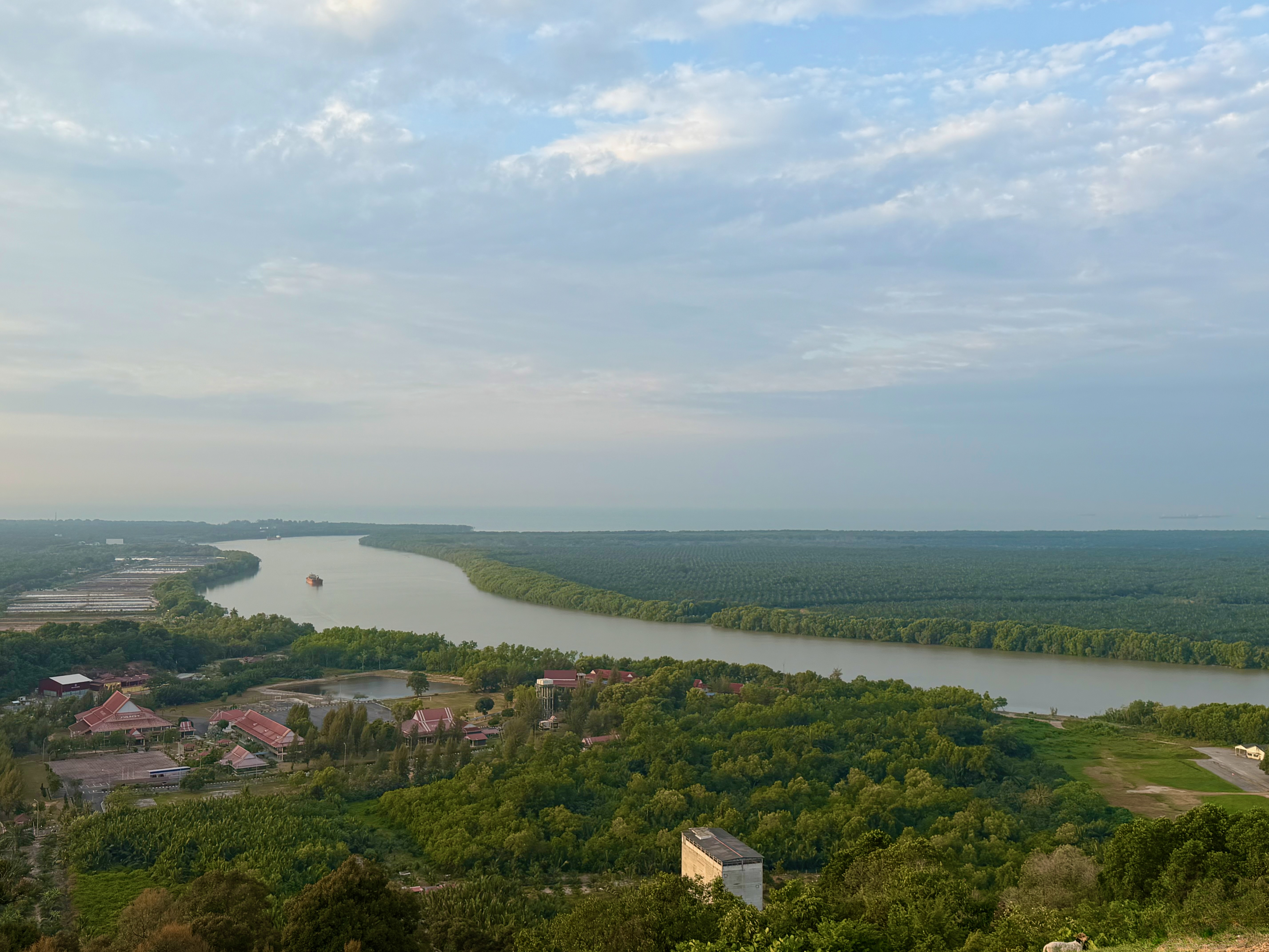
The view of the Langat River from the base of the lighthouse is lovely. There weren’t any paragliders launching themselves off the slope on the Monday morning I was there, but that is a fairly common sight on weekends.
I found out about another cycling option on Carey Island, located within the SD Guthrie estate. There are a number of things to see and visit in the estate, including the Plantation Museum, the Palm Oil Experience Centre, and Hatter’s Castle.
There is a 10 km bicycle lane from the security checkpoint on Jalan Pulau Carey to the Plantation Museum. The bicycle lane is open to the public only on the first Sunday of each month, which is a shame because I was there on a Monday.
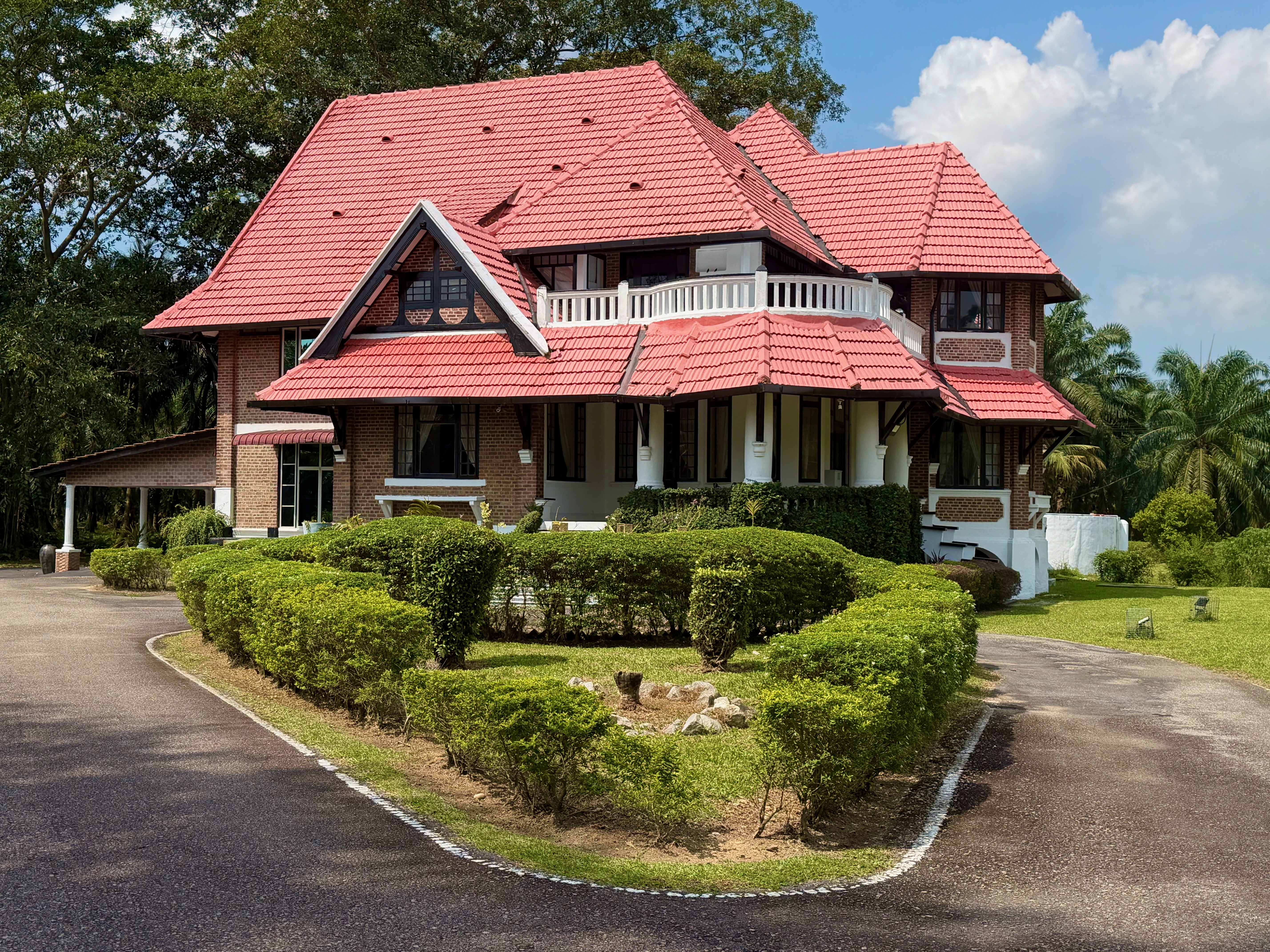
The Plantation Museum was temporarily closed, so we went to see Hatter’s Castle instead. Hatter’s Castle was built in 1922, and its design became the model for all hill station and plantation bungalows erected during the British colonial era in Malaya. The bungalow’s name was inspired by a novel of the same title by Scottish author A.J. Cronin.
I cycled on all three mornings while I was at Pulau Carey. I must say, it was very nice to end my rides with breakfast at The Mangrove instead of having to ride back to Rimbayu.
I look forward to staying at Pulau Carey again, preferably on the first Sunday of the month.