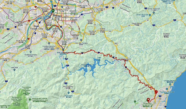
Map courtesy of Ride with GPS
The morning started with an early run for some energetic ones.

Photograph courtesy of CK Lim
The first effort of the day for the rest of us was a gentle stroll to find breakfast.
Photograph courtesy of Khoo Bin Soo
We were ready to start riding at about 8.30am. It was a very short distance to the bike path along the left bank of the Tamsui River. We rode a very windy 20km / 12mi along the river to Bitan.

Photograph courtesy of Benedict Lee

Photograph courtesy of Douglas Jackson
We had a short stop under the Formosa Freeway at Bitan for restrooms.
Photograph courtesy of CK Lim
I spent the time adjusting the handlebars on Simon’s bike.

Photograph courtesy of Benedict Lee
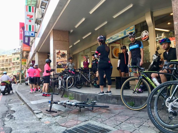
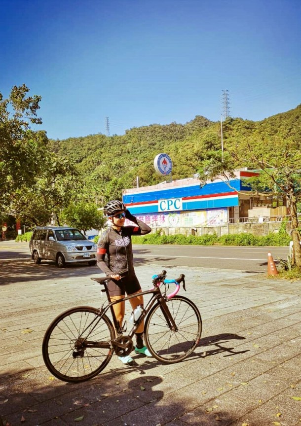
2km / 1.2mi we stopped at a 7-Eleven to refill bottles. I needed a restroom, which this 7-Eleven did not have. I had to make my restroom stop at a police station a kilometre up the road.
Photograph courtesy of Douglas Jackson
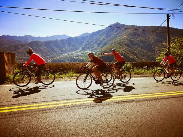
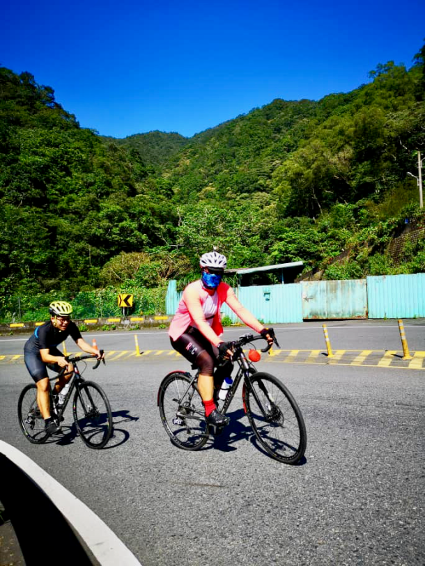
We were on the Beiyi Road headed east toward our first climb of the day.

Photograph courtesy of Douglas Jackson

Photograph courtesy of Douglas Jackson
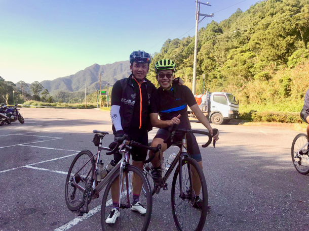
We had three climbs to get over.

Graphic courtesy of Ride with GPS
The first one had the most elevation. It took us from just above sea level to 544 metres / 1,785 feet.

Photograph courtesy of Benedict Lee

Photograph courtesy of Benedict Lee
Photograph courtesy of Daniel Lim
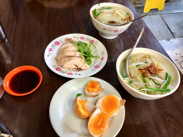
In the valley after the first climb was the Tea Aroma Restaurant in Pinglin. Our lunch stop. Pinglin is noted for producing Pouchong tea. One of our lunch dishes was tea-smoked chicken.

Photograph courtesy of CK Lim
Photograph courtesy of Daniel Lim
Attacked post-lunch outside the restaurant!
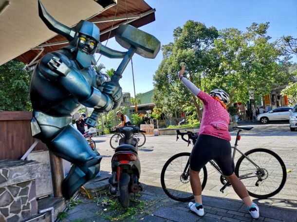
Photograph courtesy of Hsing C Pai
The Jingualiao River runs behind the restaurant. That is the Pinglin suspension footbridge in the background.

Photograph courtesy of CK Lim
The road bridge across the river marked the start of our next climb.

Photograph courtesy of Daniel Lim

Photograph courtesy of Daniel Lim
That second climb was the baby of the three hills. After an 80 metre / 262 foot descent, it was straight up to the next summit, on the boundary between New Taipei City and Yilan County.

Photograph courtesy of Benedict Lee

Photograph courtesy of Benedict Lee

Photograph courtesy of Daniel Lim
Photograph courtesy of Daniel Lim
At the summit of the last climb. Taipei-Yilan Boundary Park.
Photograph courtesy of Xiao Ger
Photograph courtesy of Xiao Ger

It was downhill all the way from the Boundary Park. Including this 8km / 5mi multiple hairpin descent which drops 327 metres / 1,072 feet.
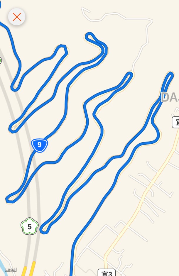
Map courtesy of Ride with GPS
Ready to zip down the hairpins.

Photograph courtesy of Daniel Lim

Photograph courtesy of Daniel Lim

Photograph courtesy of Daniel Lim

Photograph courtesy of Daniel Lim
The view was stunning. Which made it difficult to stay focused on the sharp turns ahead. And we needed to stay alert. Some of us almost ran into the back of a street-cleaning truck as we exited one sharp curve.

Photograph courtesy of CK Lim
That descent was the perfect adrenaline rush to end the day! I think most of us were still buzzing over the last 4km / 2.5 mi to the Just Sleep Hotel in Jiaoxi.

Photograph courtesy of Benedict Lee
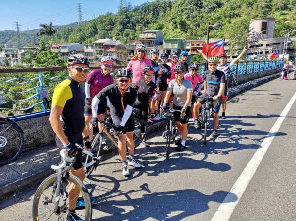
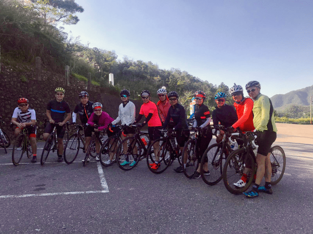
We took a “we made it” group photograph.

Photograph courtesy of Daniel Lim
Then stowed our bikes in the hotel basement.

Photograph courtesy of Kenix Chiang
Jiaoxi is famous for its hot springs. As expected the Just Sleep hotel has hot pools.

Photograph courtesy of CK Lim
What I didn’t expect was that each room has a hot tub as well. I opted for a soak in the tub in my room. I didn’t have far to go from the tub to my bed when it was nap time

After we had all soaked and napped, it was dinner time in a local restaurant.

Photograph courtesy of Benedict Lee
Thanks to Xiao Ger, the proceedings were livened up by a bottle of kaoliang. a strong liquor made from fermented sorghum.

Anyone who had some of this 58-proof firewater slept well that night!
But before any thoughts of sleep were entertained, we stopped at Yih Shun Shiuan. This is a very popular bakery. It is always crowded. People are tempted to enter the shop by all the free samples of cakes. Which are good. Most of our group left the shop with at least one purchase.
Pai bought two panna cotta rolls for us to share back at the hotel. Xiao Ger had also bought some custard apples for us to try.
")
")

Dessert and conversation on the terrace. A very pleasant way to end the evening.

